From Cappadocia to the Mediterranean Sea and then to Cyprus - Dervishes, Caravanserai and the Troodos Mountains
Cool highlands, a brilliant descent and olives as far as the eye can see
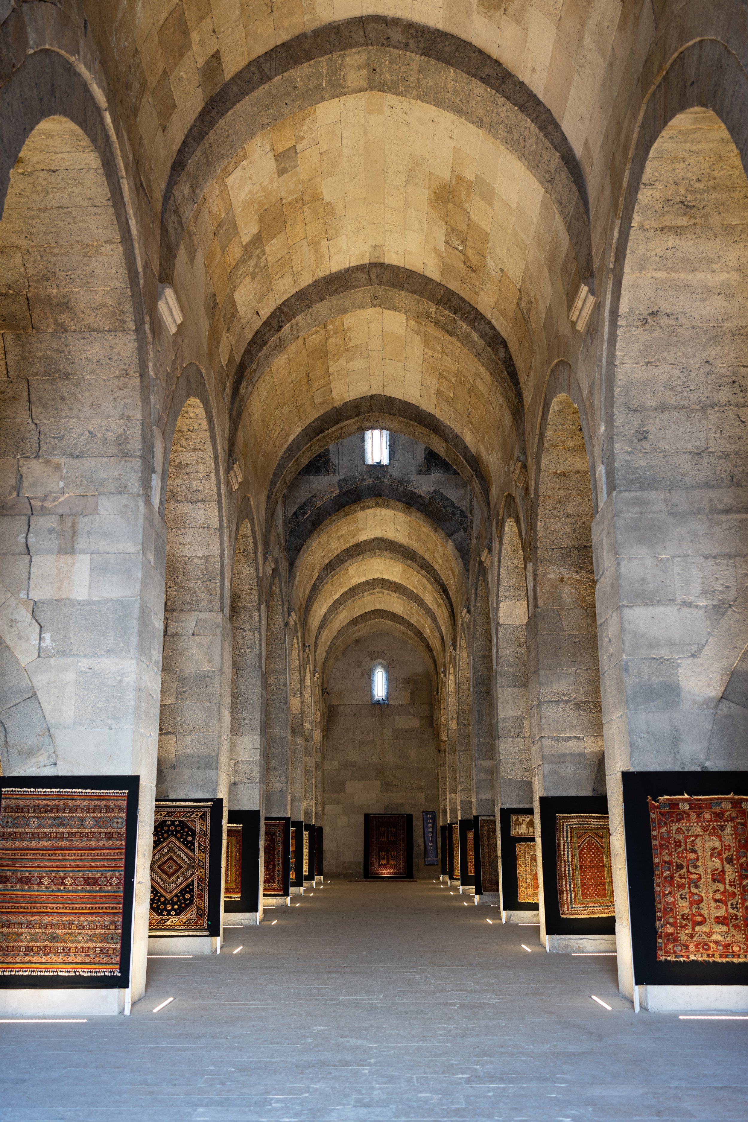
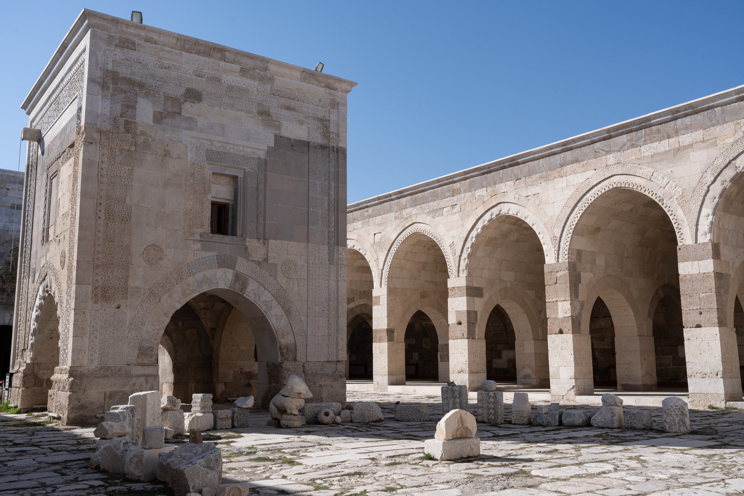
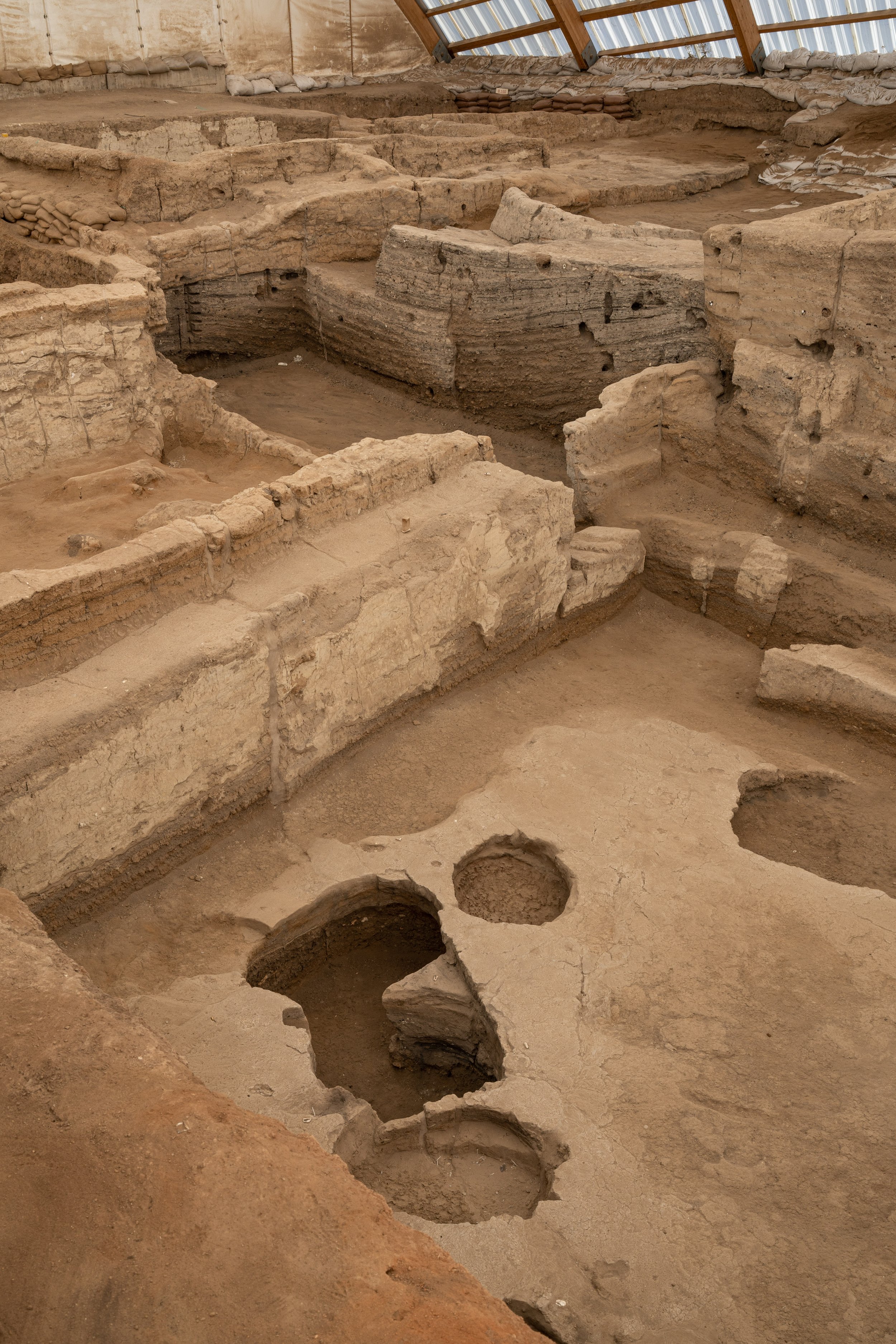
After we had arrived back in Aksaray - the southernmost point of our journey so far - by means of two train journeys and a 17-hour bus journey, we first cycled on in a southwesterly direction. The route took us through the Konya plain: flat as a board to the horizon, a road with almost no curves. In the midst of this plain lies the small town of Sultanhani. The suffix "-hani" indicates that there was a caravanserai here, i.e. a place where travelers could safely stay and eat. The old caravanserai (13th century), one of the best preserved in Türkiye, can still be visited here today. The rooms are now used for changing art exhibitions or events. As we continued cycling through the level, we were very fortunate not to have to fight against any significant headwind, because that would have quickly become a spoilsport here. At night, the temperatures in the Konya plain were just above freezing, which is why we were already looking forward to the Mediterranean Sea coast. Before that, Konya itself and its surroundings had a lot to offer: first of all, Konya has a real network of cycle paths. Not completely and always useful, but still, at least! There is even a lot of cycling in the city, but almost exclusively by men, because Konya is a rather conservative city. In the town center we visited the free Mevlana Museum, which contains the mausoleum of the famous Persian Sufi poet Rumi. Here, the former capital of the Rum Seljuks, the Mevlevi Dervish Order arose because of his work. Today his grave is a place of pilgrimage and the sarcophagus in front of it is accordingly crowded. We were lucky to be in Konya on a Saturday, because every Saturday evening there is a sema, a prayer ceremony of dervishes (“whirling dervishes”) at the cultural center. Since we are interested in archaeological sites, a detour to the nearby Çatalhöyük could not be missed. It is one of the oldest (approx. 9000 years) known large settlements in human history and was possibly the most populous city in the world at times. The city had no streets or alleys; instead, the roofs of the houses served as traffic routes and access to the houses was also via the roofs. The terrain is beautifully designed: on top of the hill you can currently visit the northern excavation site of the east hill. At the bottom of the hill are some walk-in reconstructions showing what the houses might have looked like back then. A small visitor center completes the ensemble. Important finds - including what is possibly the oldest map in the world - we had already been able to visit in Ankara on this trip. Above all, we wanted to come here to understand what kind of environment this city was created in at that time. A wide plain, at that time much wetter and more fertile, located on a small river. From here we continued south. After leaving Çumra, a Kangal seemed to have killed another dog on the right side of the road - how nice, we drove on quickly...
Now a quiet, easy cycling through the further level began. The thoughts circled. The sun was warming, but it was only about 15 °C (60 °F). About a daily stage further, in the town of Mut, it should be about 10 °C warmer, both during the day and at night! We could not really imagine this difference and were therefore very excited about the next stage. This is one of the most important reasons, if not the most important reason, for us to travel by bicycle: experiencing transitions. It is trivial for us that the Danube meadows in Serbia look different from the central Anatolian highlands. It is also trivial to us that the Mediterranean Sea coast looks and feels different than the desert in Saudi Arabia. It is no longer entirely trivial, but it is nevertheless easy to understand that the transitions between these spaces are not continuous. But what exactly are the boundaries between these spaces? Where exactly are they? The sudden transition into the central Anatolian highlands at Nallıhan between Istanbul and Ankara was a good example of such a border. They are not well-known attractions in their own right. Depending on the season or with climate change, they can also shift. It's impossible to capture them when traveling from one environment to the next in an airplane. In this case, they are skipped entirely. Although you travel on the surface of the earth in a car or bus, you are still shielded to a certain extent from environmental influences such as temperature, moisture and wind. Cycle touring offers an opportunity to really appreciate such limits and such environmental influences (for better or for worse).
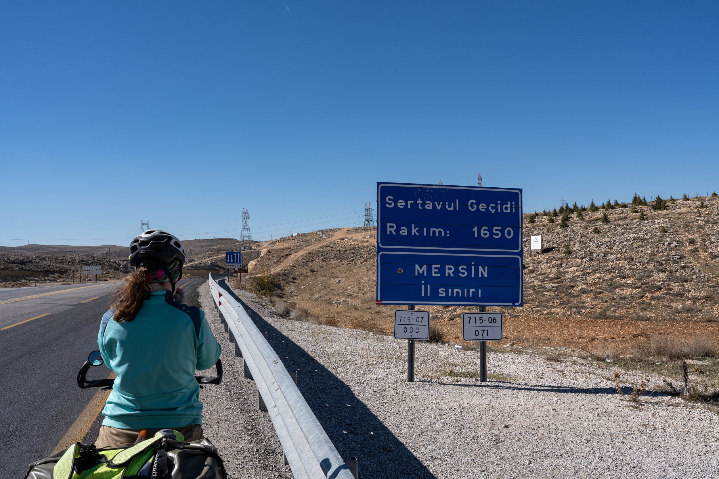
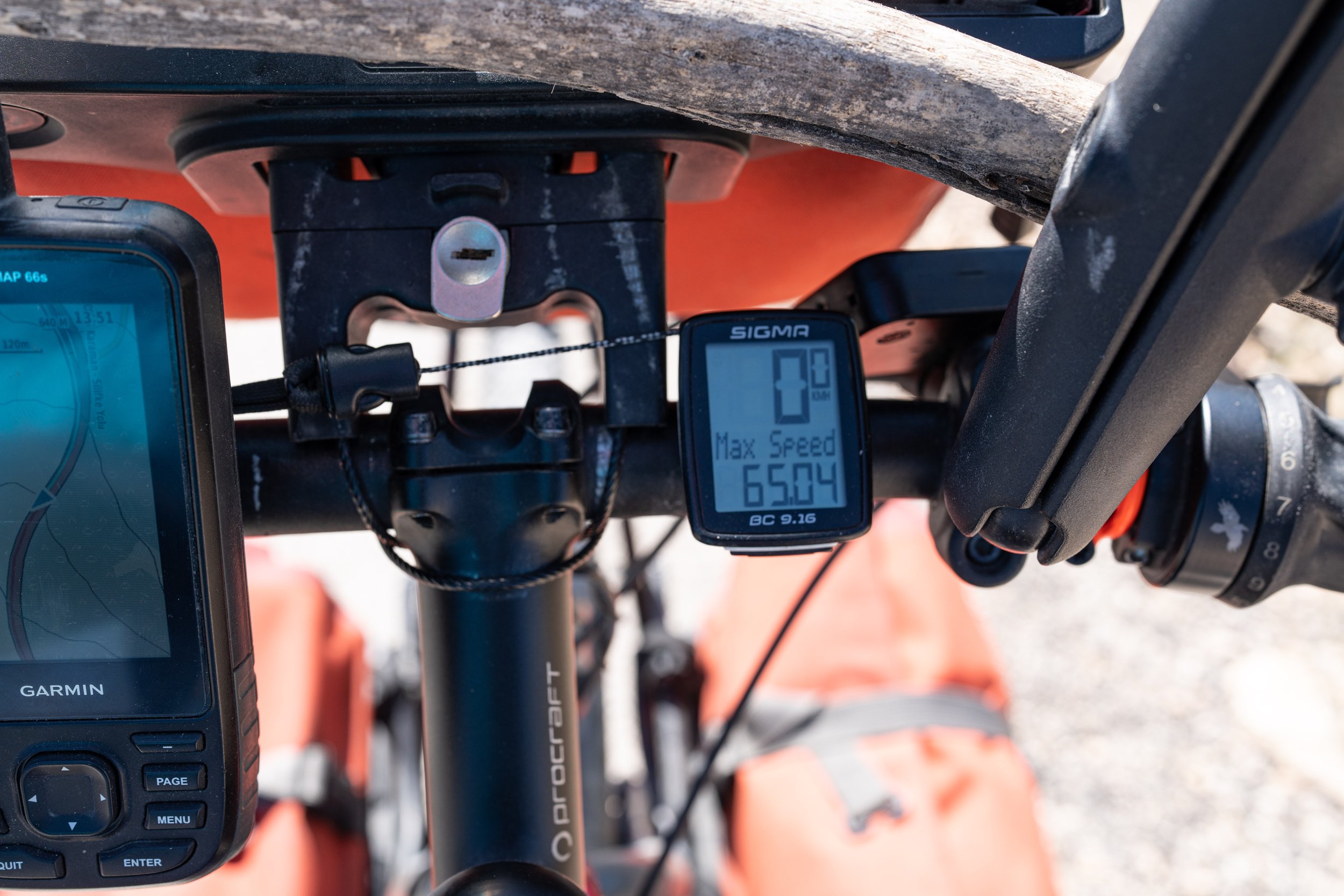
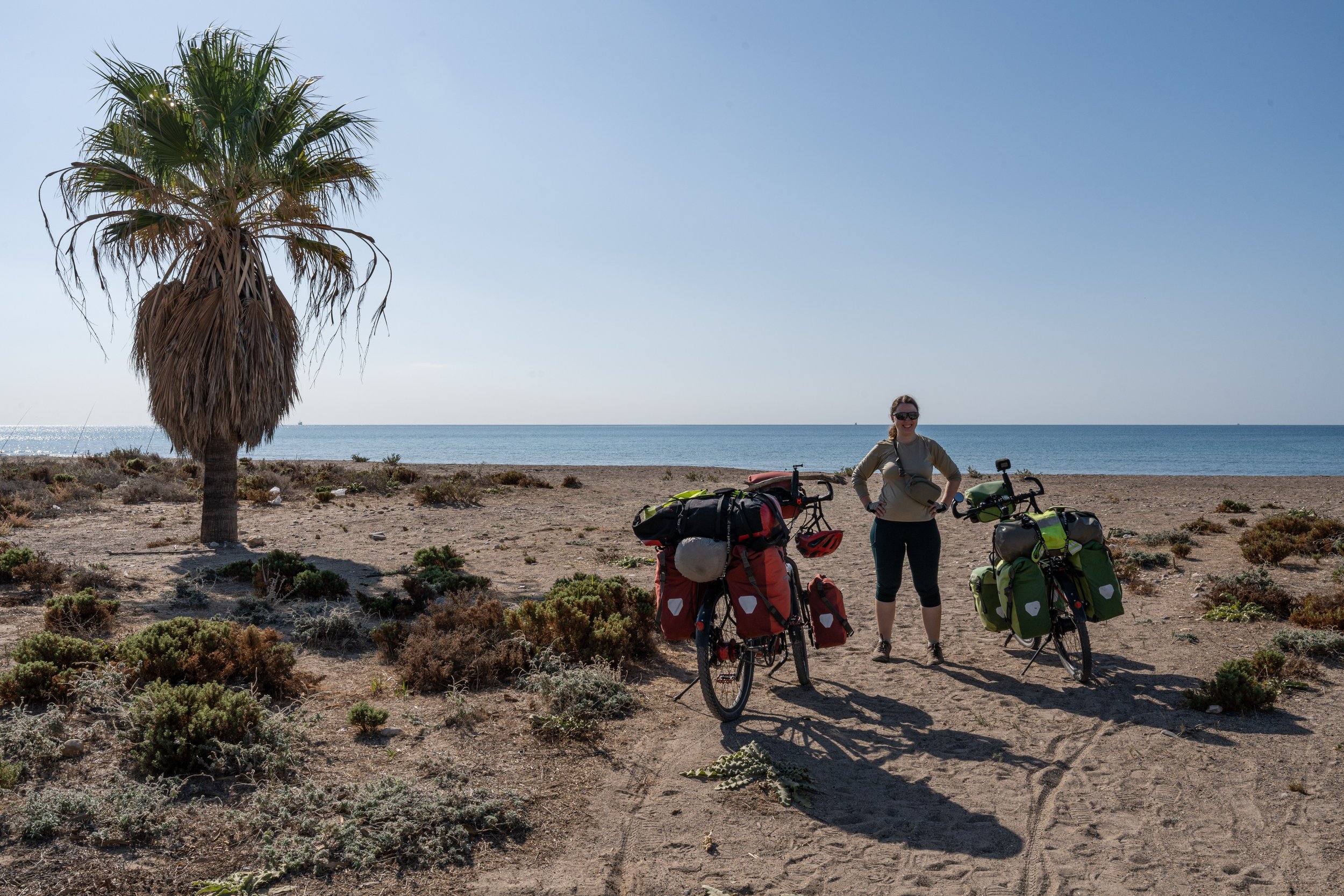
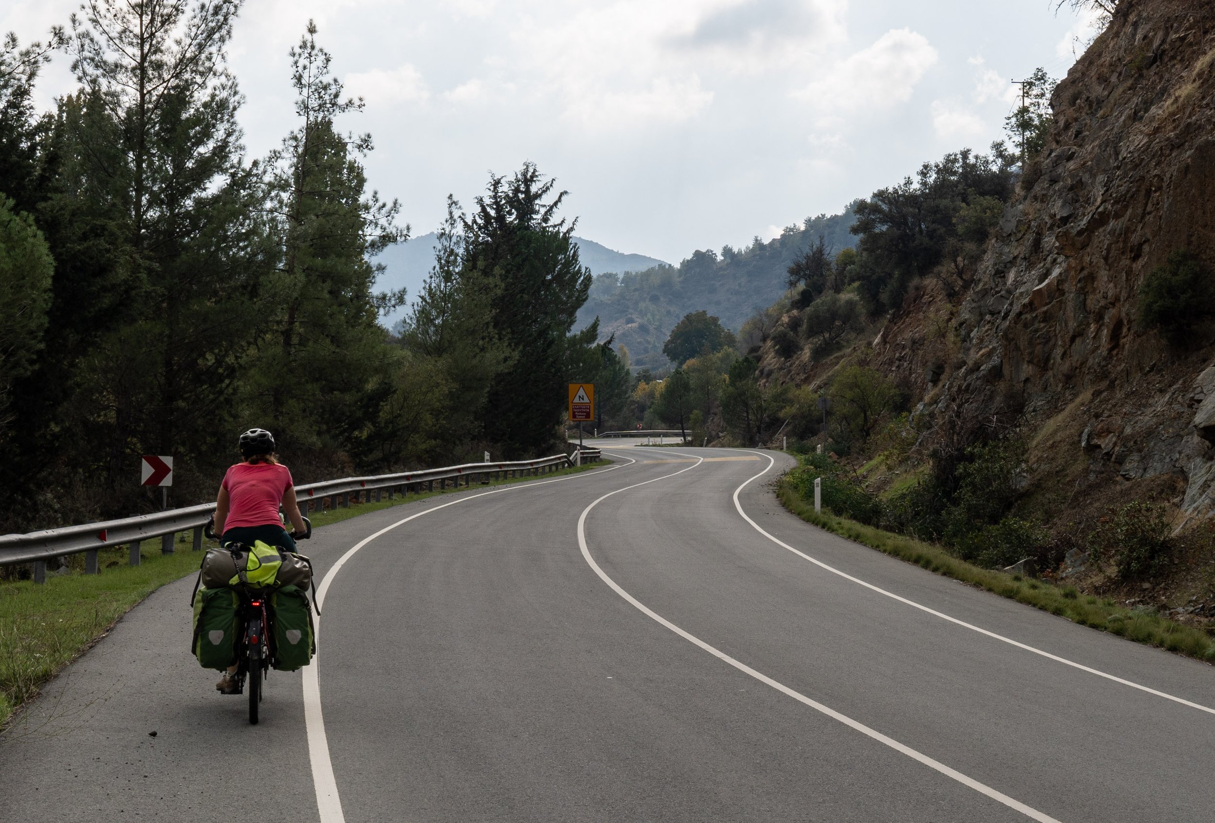
South of Karaman we climbed the southern edge of the central Anatolian highlands with the Sertavul Pass (1650 m/5413 ft). On the other side of the pass it was just a little bit warmer. The trees here were much taller and richer in species than on the other side. In the case of deciduous trees, the autumn coloring was not as advanced as e.g. in Sultanhani. It actually became suddenly more mediterranean here. For some time the road ran more or less flat through a really beautiful landscape - on the left rock formations with beautiful layers, on the right the wide and densely forested valley of the river Göksu. Then the brutally fast descent into the valley began: from 1400 m (4594 ft) to 160 m (525 ft), in one go, without a break. The road was wide, in good condition and there was hardly any traffic - let the frenzy begin! Only interrupted by a few breaks to cool down the brake discs, we rushed down the brilliant race track (up to 65 km/h (40 mph), quite a lot for a fully loaded touring bike, the Kangal can't keep up with that even at full gallop...). In the wide valley of the river Göksu there are huge olive groves. In a loading station for olives we were invited to çay (tea) by the employees there. Via smartphone translation we chatted about the usual topics (the trip, the dogs and the route). After a counter ascent (on the road that was briefly four-lane again) followed a nice descent into the gorge of the Göksu river, which breaks through the Taurus Mountains here. Incidentally, Emperor Barbarossa drowned in this river in 1190 on one of his crusades. Luckily we were able to use the bridge and arrived safely at the Mediterranean Sea.
Northern Cyprus and the divided capital
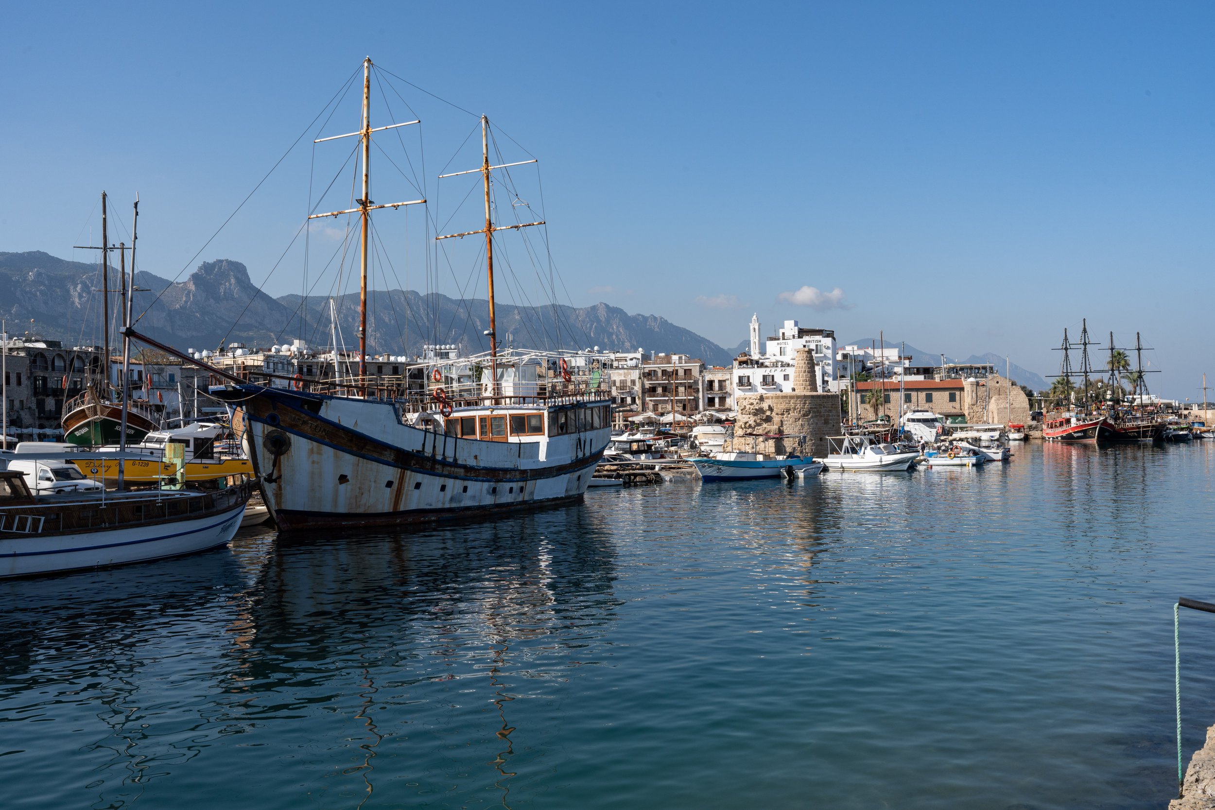
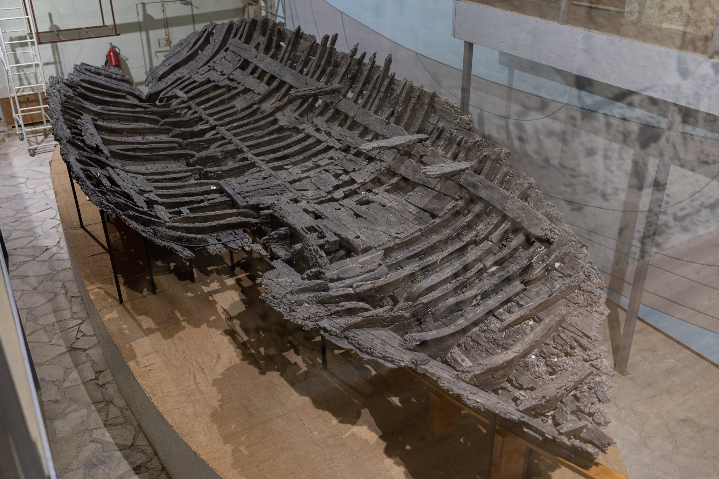
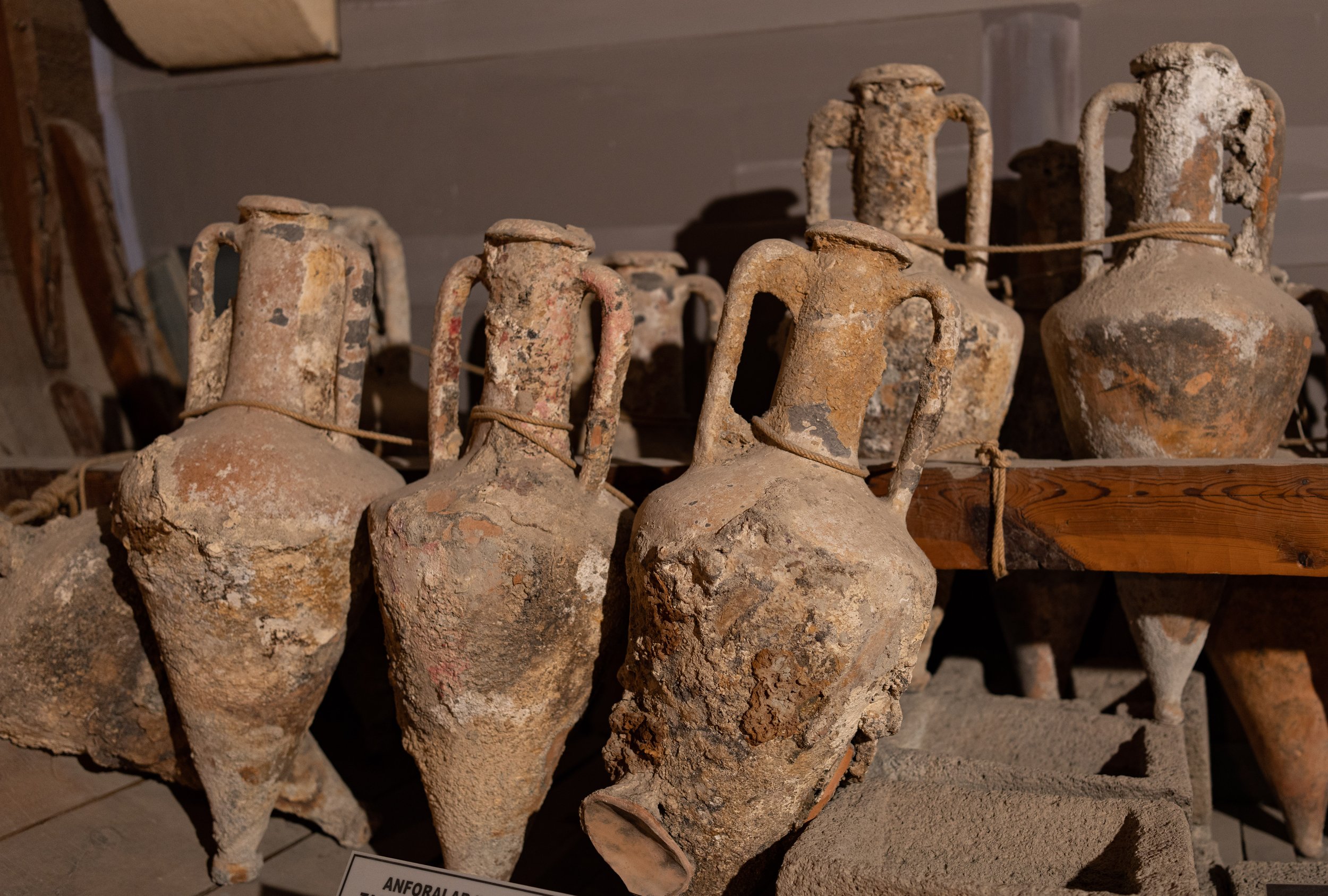
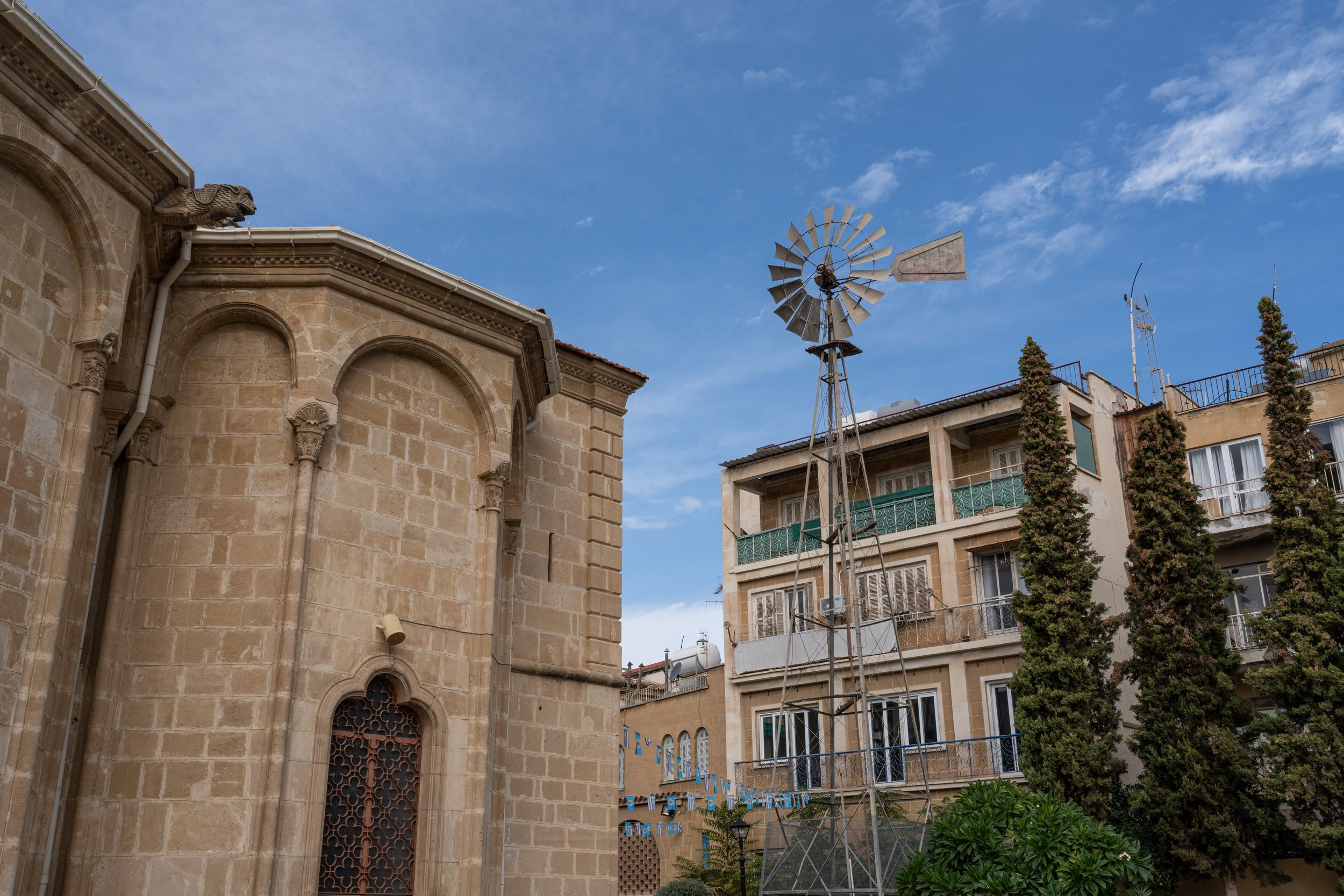
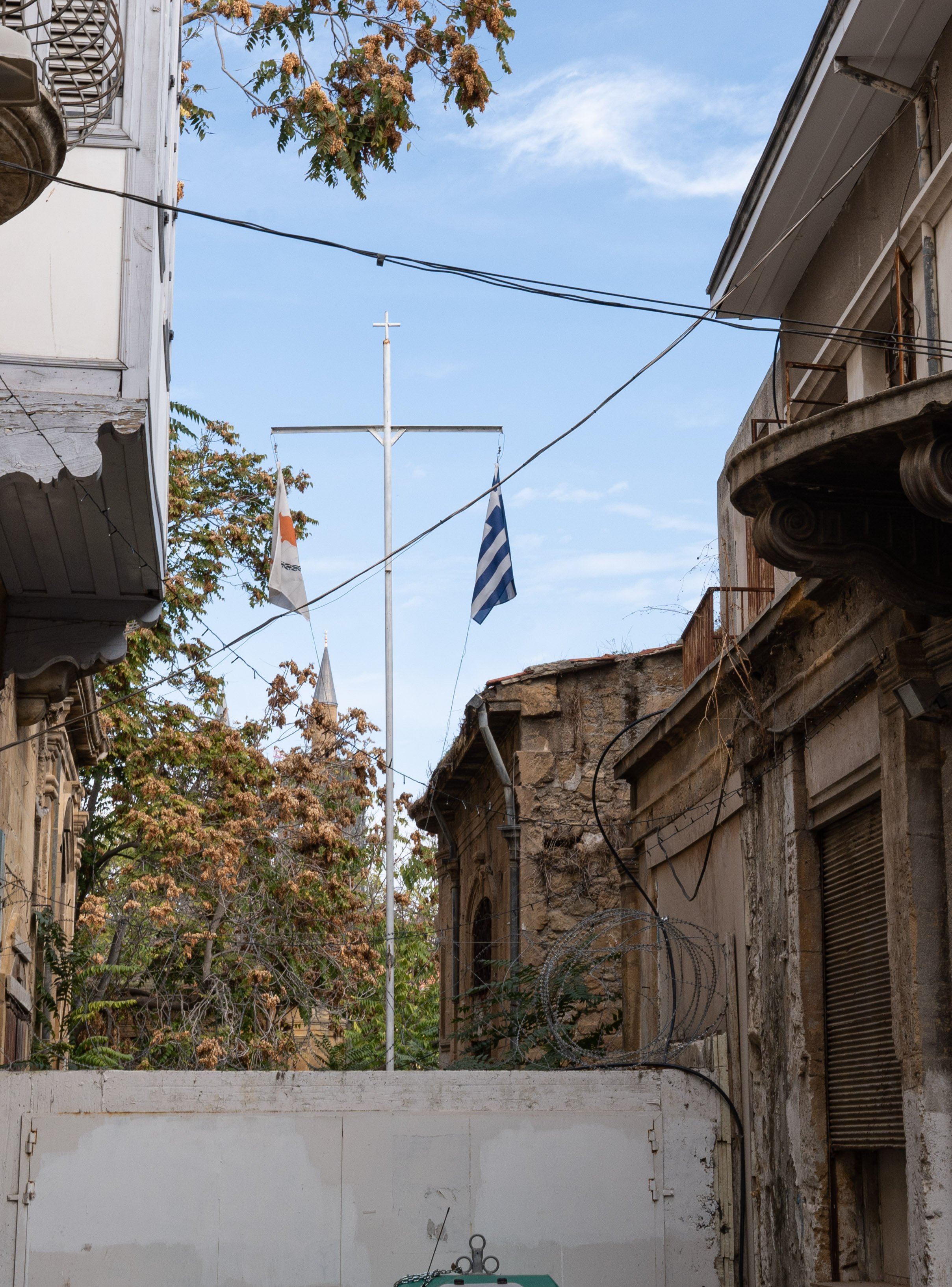
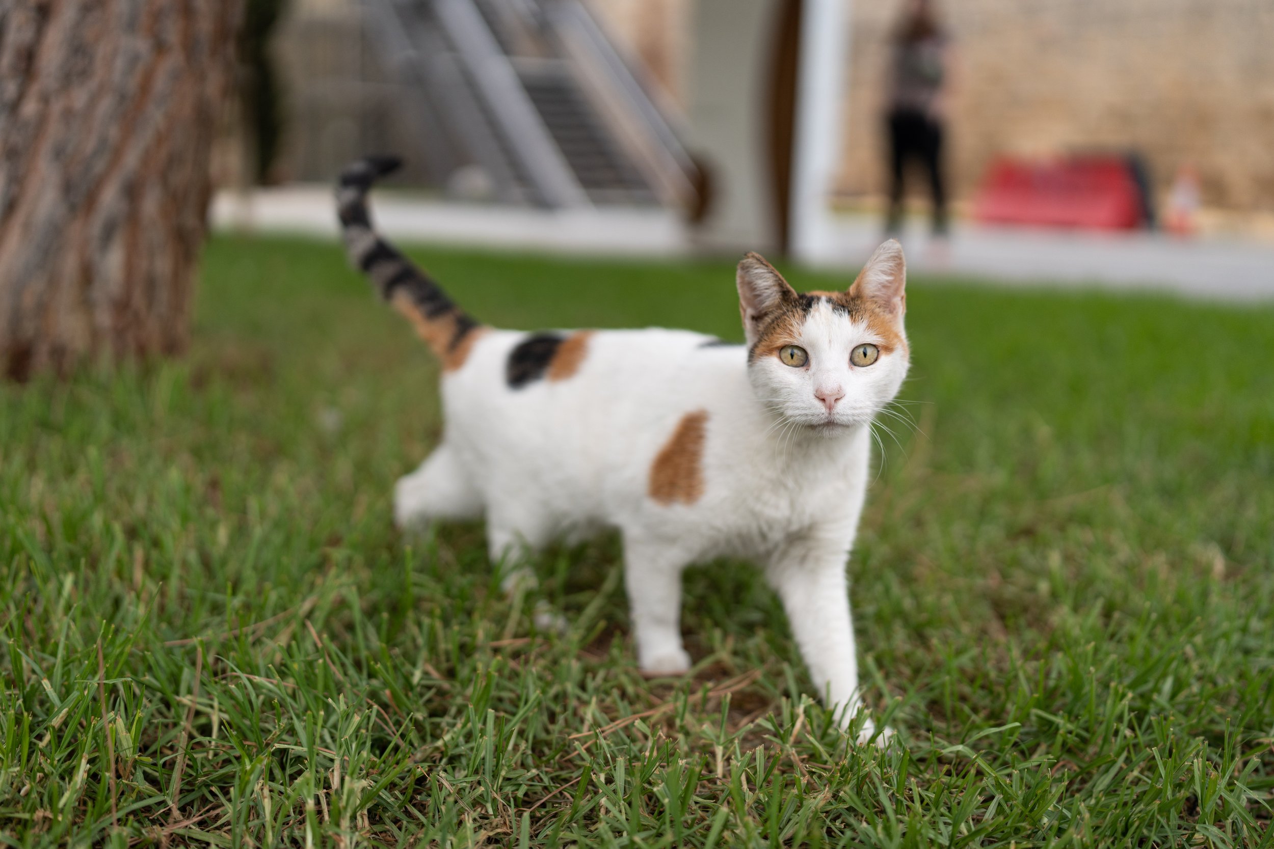
From Taşucu in Türkiye we took the catamaran fast ferry across the 120 km (75 miles) sea to Girne on the island of Cyprus within just under three hours. The port city is located in the northern part of the island, i.e. in the Turkish Republic of Northern Cyprus, which is only recognized by Türkiye. We were greeted at the port gate by three barking street dogs. The first, but also the last, as it turns out, because in Cyprus the streets of the cities are clearly controlled by the cats (which could explain the humble mood of the three barkers pushed to the outskirts of the city...). Cats arguably outnumber people here and are omnipresent in the narrow streets of Girne's old town (and other Cypriot cities). As the sun was setting when we arrived, our learning curve for driving on the left was steep: darkness, city traffic, narrow streets and roundabouts. The next day we walked through the old town of Girne to the old port. A very nice place, lots of old buildings. Against the backdrop of palm trees and the screech of a parrot, the courtyard of the fort looks almost like a Spanish fort somewhere in the New World. The Ship of Kyrenia, the wreck of a ca. 300 BC sunken Greek wine transporter. A large part of the body and original amphorae could be salvaged and conserved. We cycled on: over the small Kyrenia mountains we quickly reached the Mesaoria plain, in which lies the divided capital of Cyprus, Nicosia. We both mastered left-hand traffic quite well and the navigation into the circle of the Venetian city wall (which, by the way, only served its purpose, the defense against the Ottomans, for a good year) succeeded quite quickly. Due to the former isolated location in the time of the strict division, some parts of the old town are still quite dilapidated, but other parts are well maintained (the narrow UN buffer zone, which divides the city once in the middle, was not always as permeable as it is today). In the southern part of the city (EU and Eurozone) we met again Alex from England and his dog Nova, whom we had already met in Negotin in Serbia. Alex rides a tall bike, i.e. a home-made bicycle with a frame made up of two conventional bicycle frames welded one on top of the other. If he makes it around the world with it, he would have succeeded in the first circumnavigation of the world on a tall bike - we wish them both the best of luck! In Nicosia there was also an option to get further to Israel. For this we now had to reach Limassol on the south coast of the island. Those who know the island probably already guessed: there is no airport...
Off through the mountains and then not on the plane
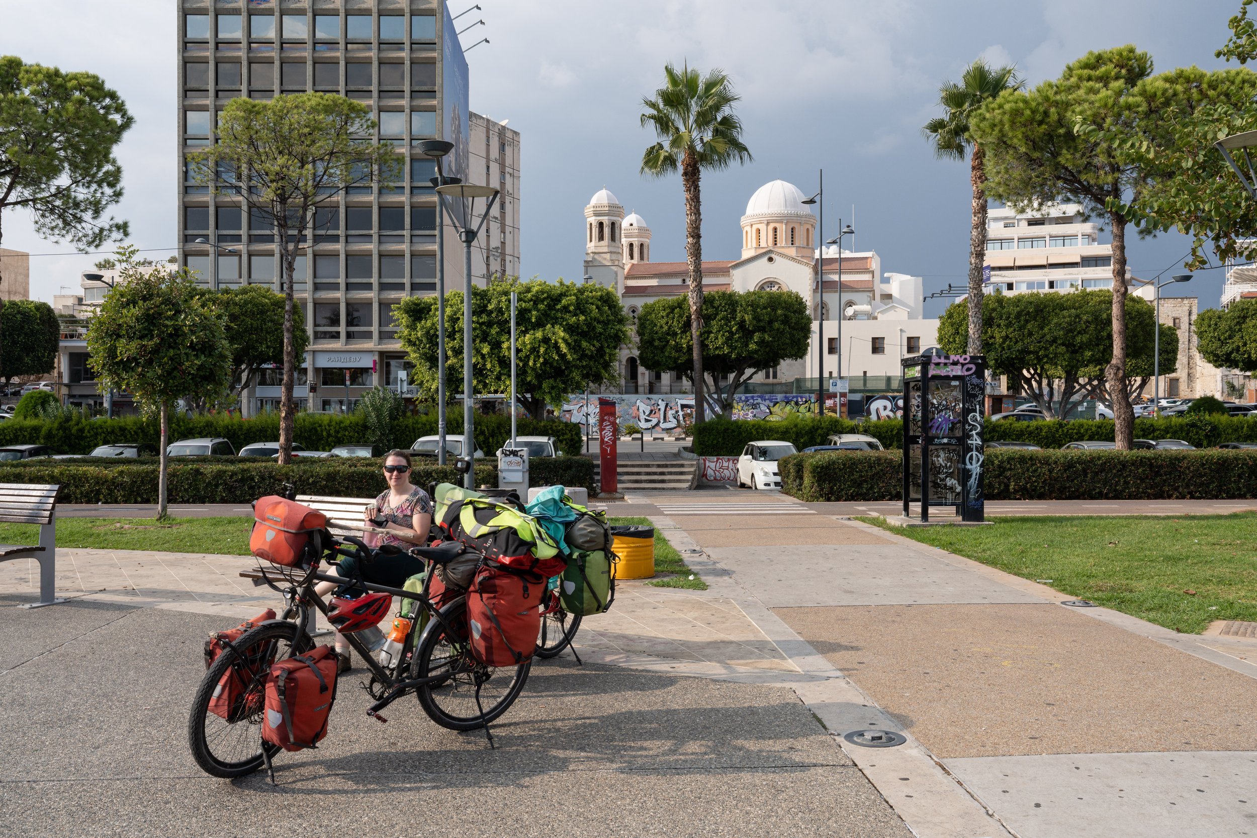
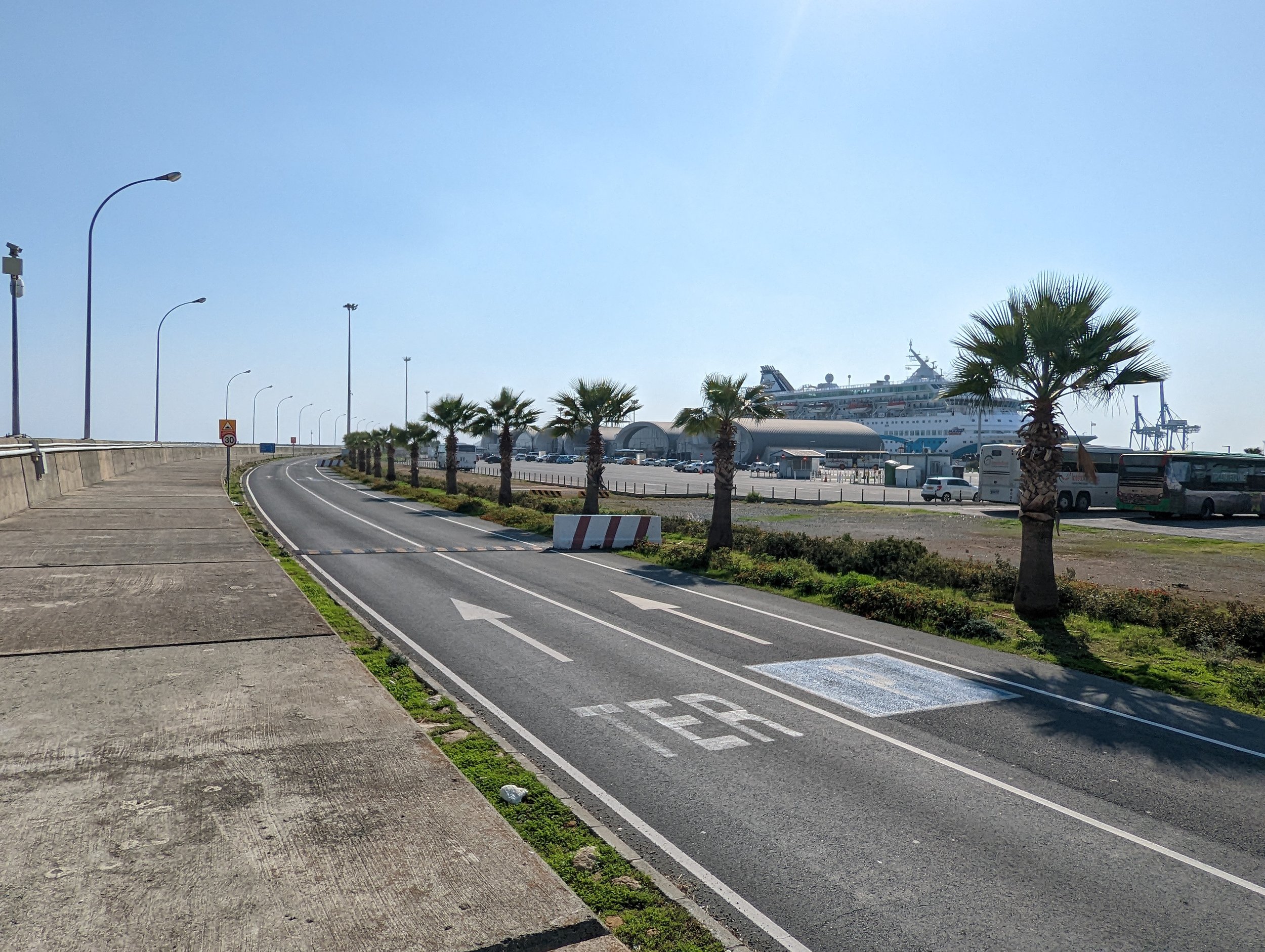
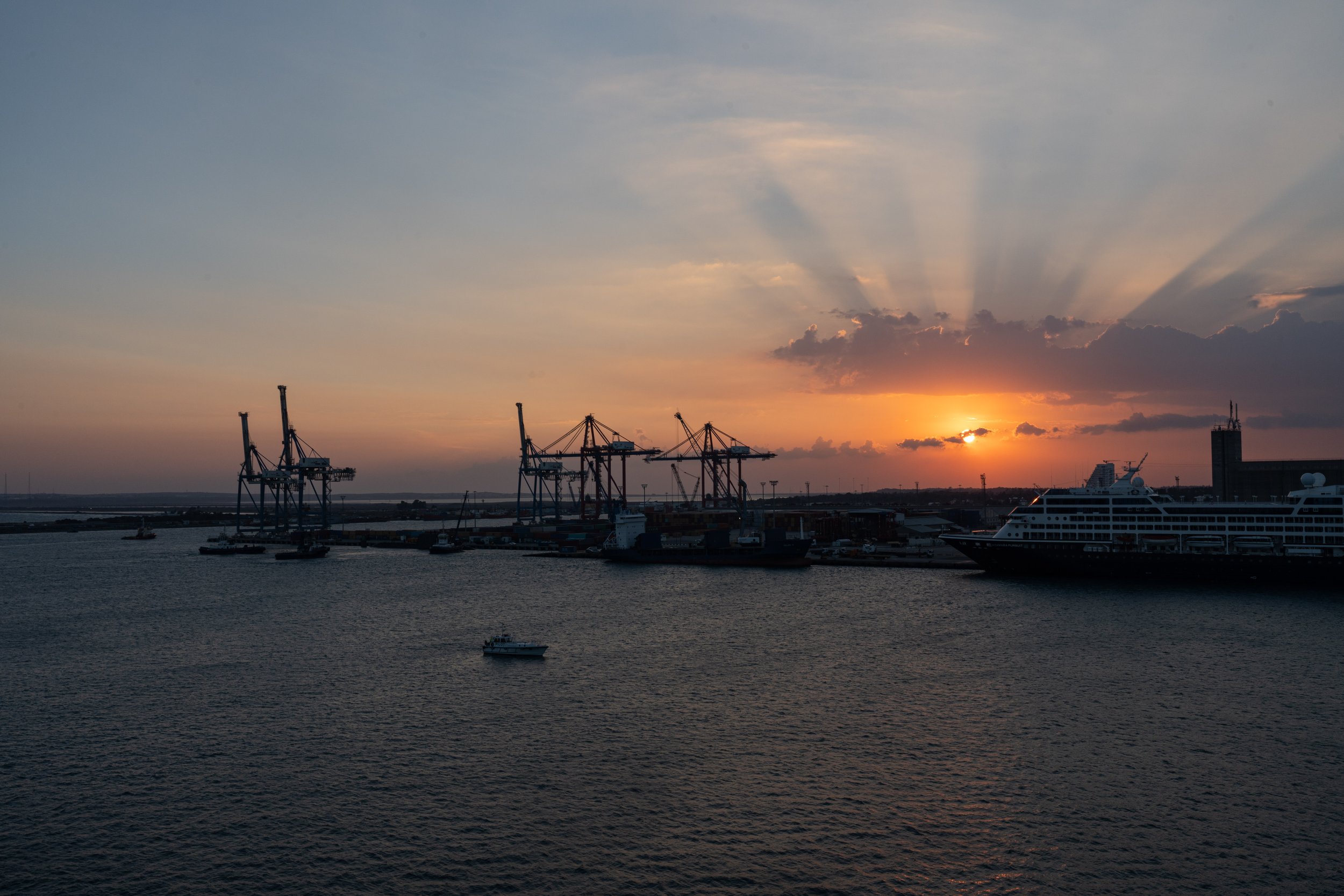
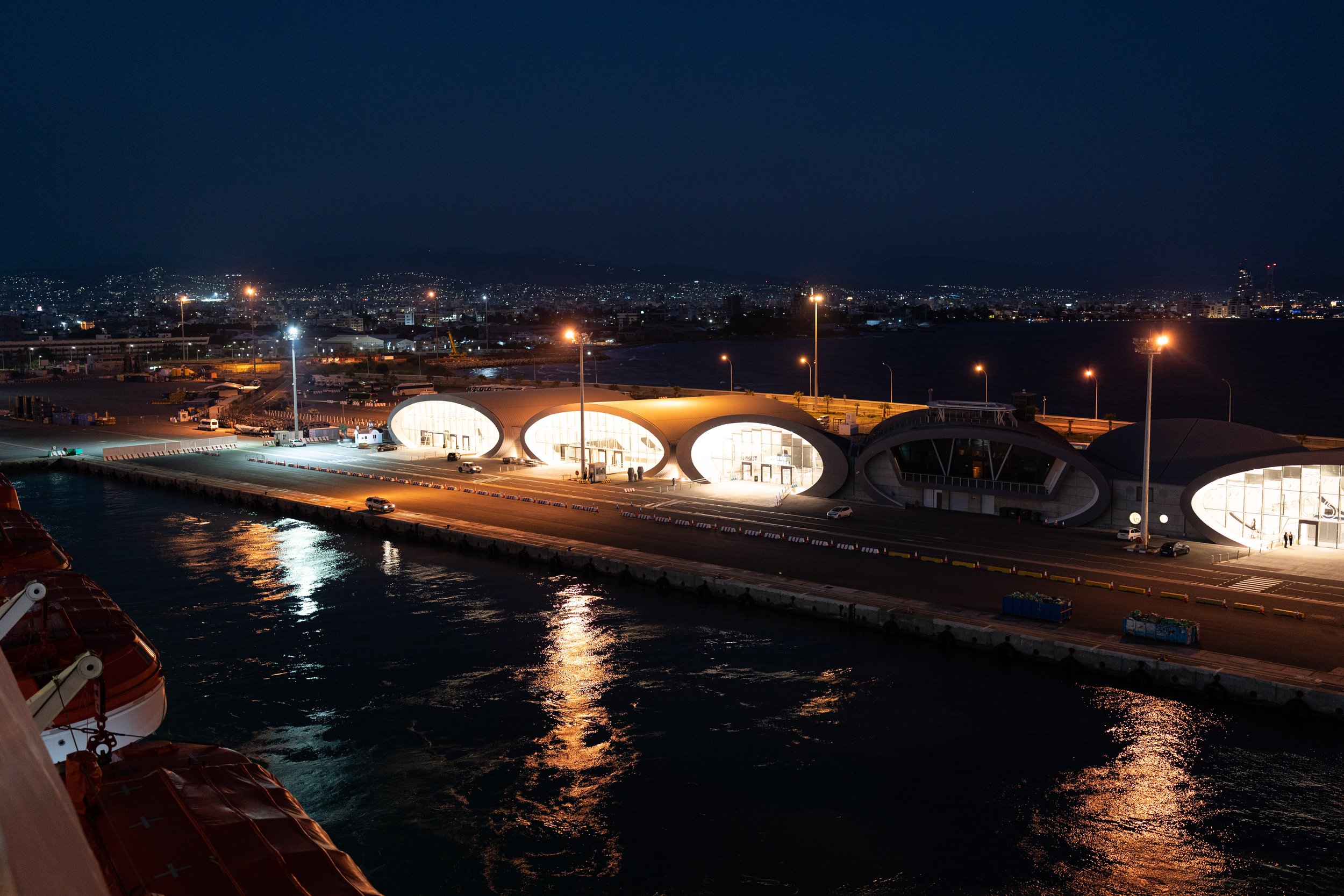
Off to Limassol, that was our plan. The Troodos Mountains rise between Nicosia and Limassol. To get there from Nicosia, we first rode out of the city on a long bike path in the park along the Pedieos stream. In this park, cats live in large packs called cat colonies. We were a bit surprised that cats can live together in such large groups! Gradually it went steeper into the Troodos Mountains. At first we drove through cultivated land (including olives, which are now ready to be harvested), but soon through beautiful pine forests. Cycling on the back roads in the mountains with little traffic was really fun, but on the second day we were soon hit by an increasing thunderstorm, so we drove down to the coast in Limassol quite quickly. There we were able to receive a spare parts package from Sonja's brother from Germany in our apartment. The most important thing: fresh tires (Schwalbe Marathon Mondial Evo, the good ones...) to hopefully get to Southeast Asia. And we had to make preparations for another crossing, because we actually went to Israel by ship! For ages we had searched the internet from left to right and from top to bottom, written to agencies, combed through travel reports. Always with the same result: currently there is no way to get from Cyprus to Israel by water. At sea instead of on an airplane, for us that's not even a question of environmental pollution, but above all a question of immersion. As already indicated in the first section of this article, traveling by plane breaks this immersion for us. It doesn't matter whether it's over the rainforest of Brazil or over the eternal ice of Greenland: both feel the same on the plane. The sounds, the movement, the smells, the temperature: none of this is affected by the place you are over. The travel experience is completely detached from the position above ground (extreme weather events excluded). With a window seat you might be able to see the scenery from the ground, but the distance seems vast, even though it's actually only about 10 km (6 miles). Of course, for business travel, the airplane is excellent: fast, and everything in between becomes irrelevant. But what interests us is precisely the “in between”. Any other means of transport, on the other hand, offers us the possibility of not losing contact with the surface of the earth or sea and the corresponding environmental influences. And it must remain possible. It cannot be the case that, due to a pandemic, the only means of transport left is the one that can spread diseases the fastest (shipping companies currently justify not taking passengers on cargo ships with the pandemic situation). During our research we found a report about the Dane Thor Pedersen, who had managed to reach 194 countries around the world without a single flight. One of his statements: "Wherever there are people in this world, there is a means of transport and you can always get from A to B." That was before the pandemic, but it should still apply to us now: Sonja was contacted by two other cycle tourists from Germany, Oli and Katrin (nanosreisen.de), who are currently on the same route as us. They had indeed found a small Israeli cruise line that offered round trips between Haifa and Limassol and would also take passengers one-way from Limassol to Haifa. So it happened that at the New Port in Limassol there were even six cyclists (Regula and David from Switzerland had the same idea independently of Oli and Katrin) to get on board the Mano Cruise ship to northern Israel. The only condition imposed by the shipping company: the bikes had to be packed as luggage. At a bike shop we got bike boxes in which we could put the bikes after removing the pedals and the front wheel. Almost like flying, only we didn't have to pad or securely seal anything, because no airport employee will drag, kick or throw the boxes. We were extremely happy that it went on like this. Of course, it's just a snapshot: in Oman or Dubai we could soon find ourselves in a similar dead end. But now we are really looking forward to the planned crossing of Israel and the Arabian Peninsula! And in the end, nothing is as certain as a change of plan anyway...
About cycling on this section
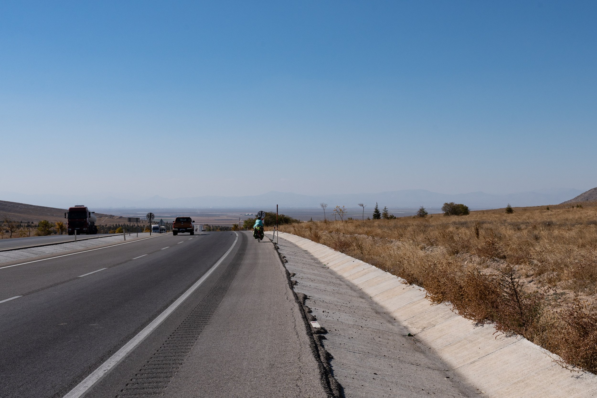
From Cappadocia (Aksaray) to the ferry in Taşucu: In the flat Konya plain we first always followed the D-300 via Sultanhani to the eponymous city of Konya. The road is always very well developed and always has a wide hard shoulder that is in very good condition. The traffic density wasn't too high either. This section was therefore easy to pedal, even if driving straight ahead can become monotonous. Only a strong headwind or a thunderstorm could spoil the cycling on this section... According to locals, from December there can also be significant amounts of snow here, so we would not choose this route for the winter. From Konya we followed a smaller country road to Çatalhöyük via Erler and Küçükköy and then on to the D-715 via Çumra (all roads in good condition). The D-715 via Karaman and Mut to Taşucu (or Silifke) was also very easy to navigate. A real highlight was the descent between Sertavul and Mut: a wide road with premium asphalt, hardly any traffic and clear curves: perfect conditions for a fast descent! Unfortunately, between Mut and Silifke, the D-715 mostly becomes single lane and narrows again, which can be uncomfortable if the traffic is too heavy. At the moment, however, work is being done on a new, parallel expressway with tunnels and bridges, so that traffic on the small country road should soon decrease.
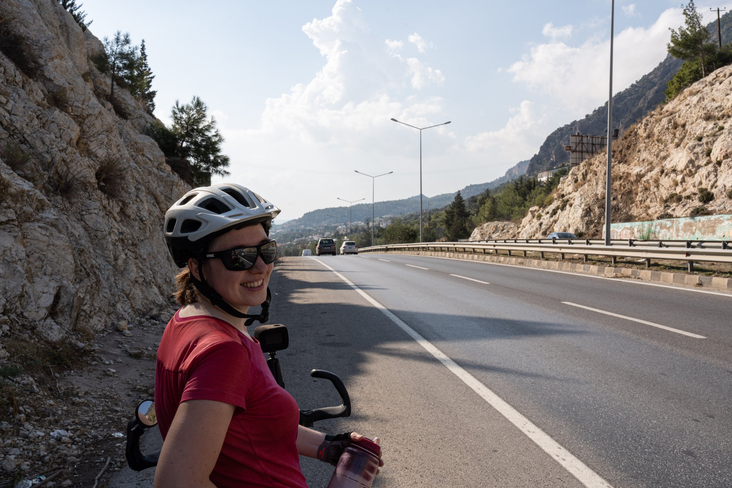
Crossing Cyprus from Girne to Limassol: Arriving at the port, you are immediately thrown into the (for many) unfamiliar left-hand traffic in the city traffic and the roundabouts. In Girne you are greeted directly by a smaller mountain range, which is why it goes uphill towards Nicosia. Unfortunately, there isn't really a sensible alternative to the busy road to the south at first, but at least you can usually cycle on a hard shoulder. At Boğazköy we switched to a smaller, very easy to cycle country road, which always leads to the west of the main road to Nicosia. In Nicosia there are even bike lanes sometimes and we got around the city easily. At the checkpoint on Ledra Street we were able to push our touring bikes through without any problems. We left Nicosia heading southwest via an approximately 11 km (7 miles) cycle path that runs in a park along the Pedieos stream - highly recommended! Cat lovers will also get their money's worth in this park, as there are many so-called "cat colonies" here. We then followed the E903 to Agros and then the E110 to Limassol through the Troodos Mountains. We can highly recommend these two roads: Little to no traffic (weekdays), good condition, good road surface and a very beautiful landscape!

