From Istanbul to Cappadocia - off to the highlands and then high up
Asia welcomes us - off to Central Anatolia!
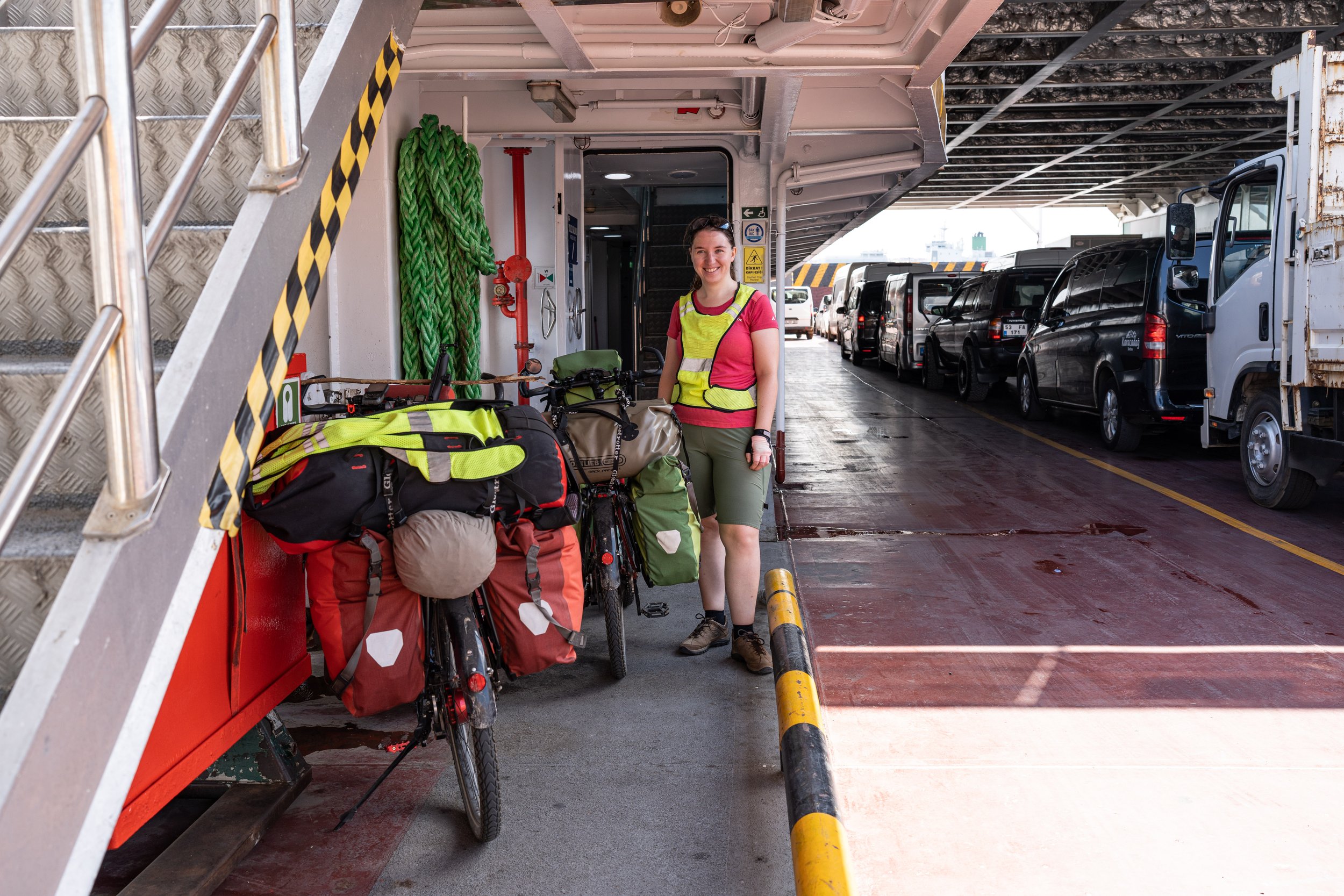
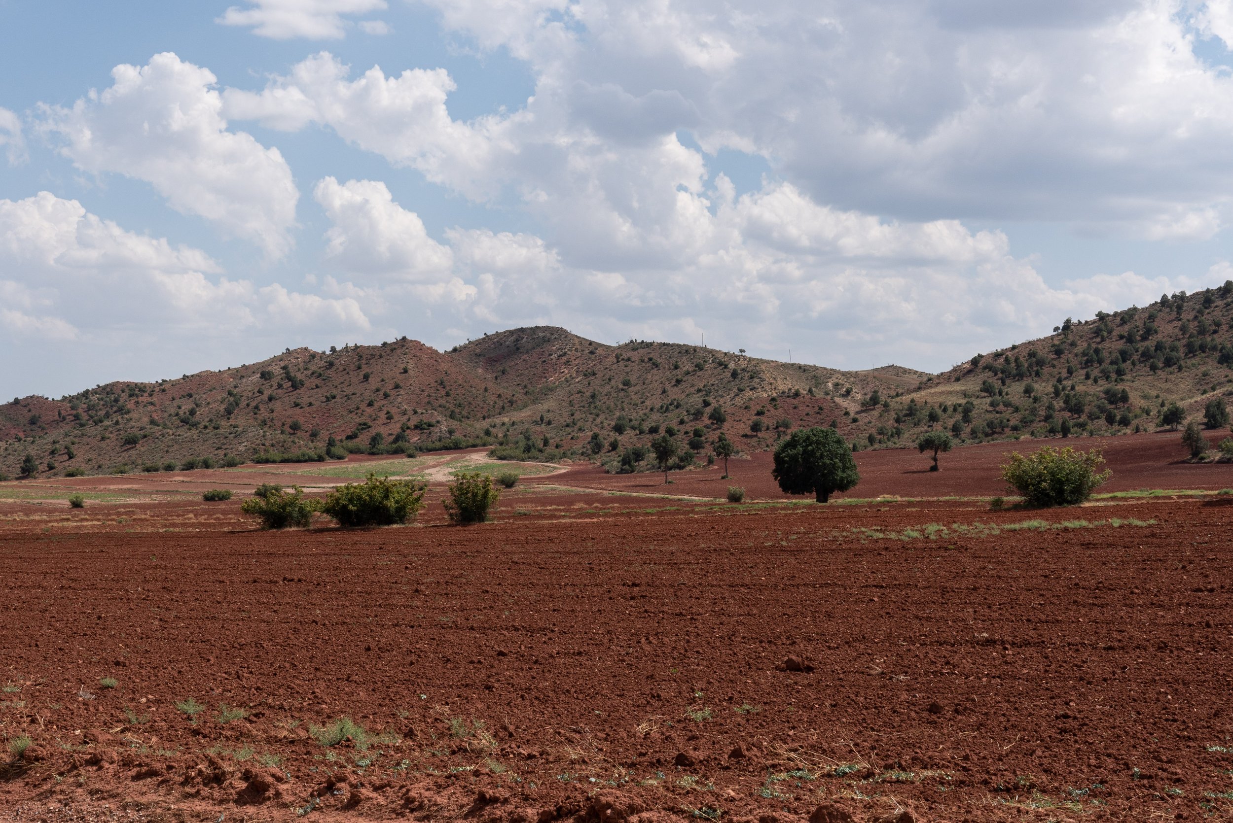
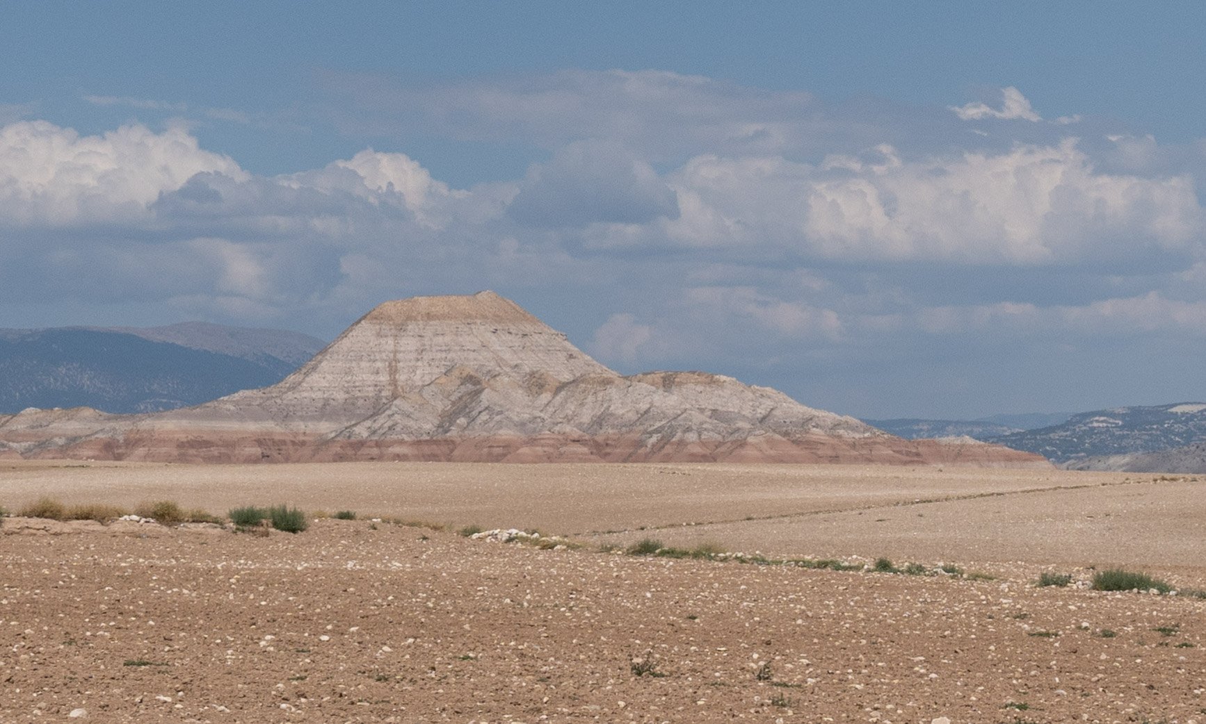
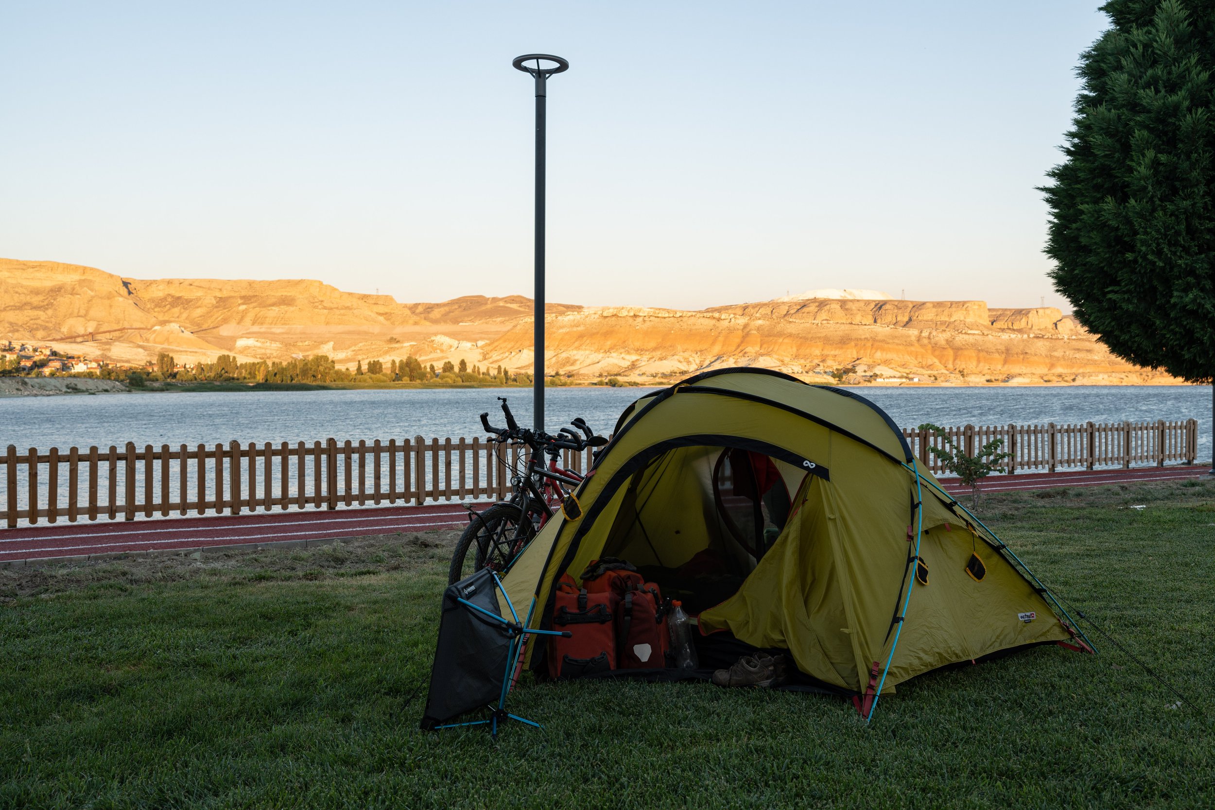
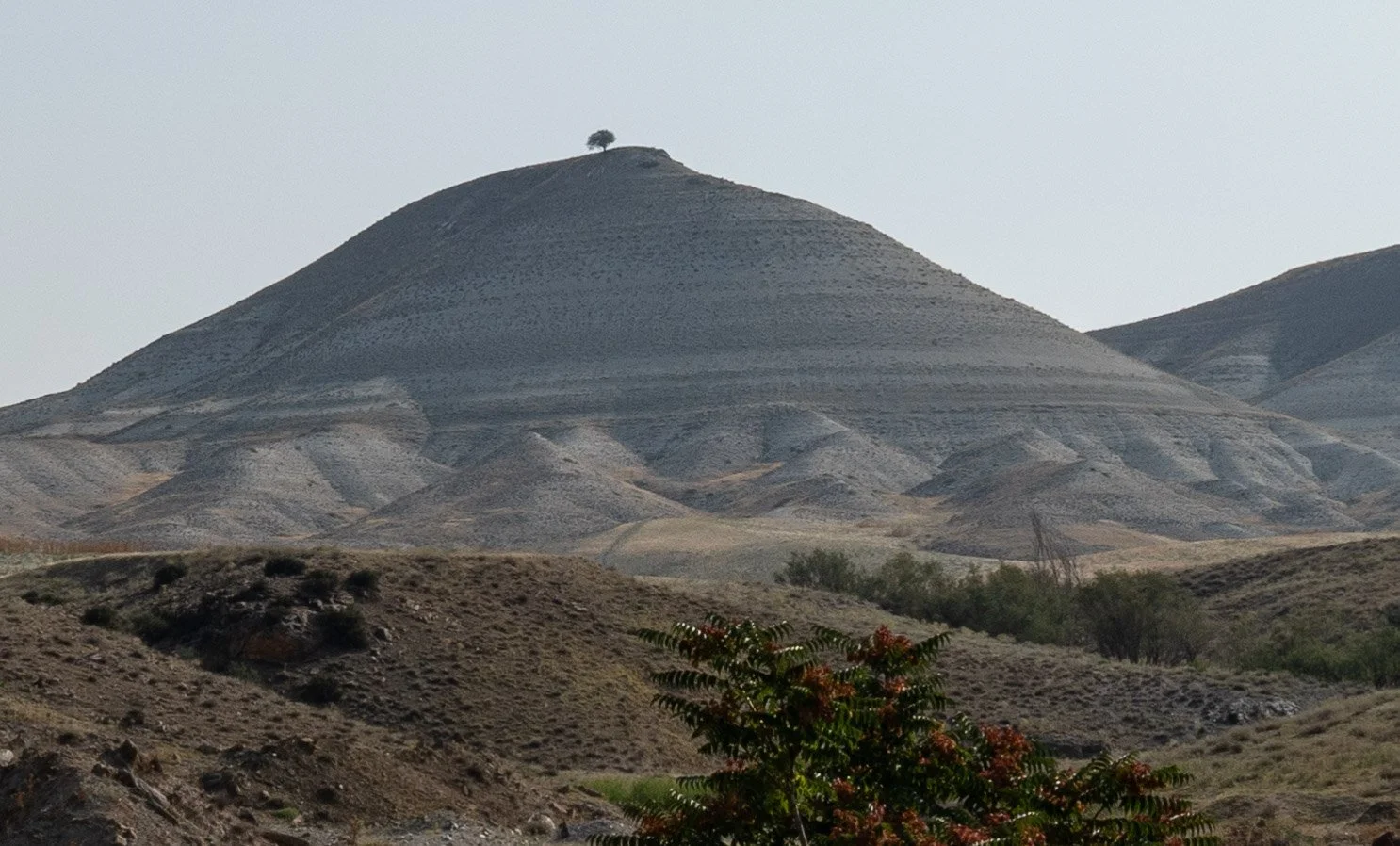
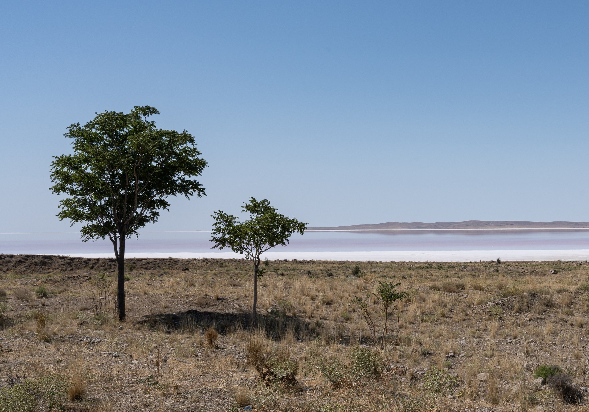
Since all Bosphorus bridges are unfortunately closed for bicycles (and pedestrians), we had to take a ferry across the strait. Even that wasn't easy, because at the vehicle entry we (probably on principle) didn't pass as a vehicle (but the crummy scooter in front of us did...). Luckily, a very friendly guy at the far pedestrian entrance helped us get the bikes through the undesignated passageway. But the Asian part of Istanbul then welcomed us with a very nice bike path along the Sea of Marmara. And the people here were incredibly friendly and open! Many passers-by and Istanbul cyclists were curious and up for a chat, some even gave us food to take with us. The Asian part of Istanbul is much less touristy, which is why we as travelers are noticed a lot more here. Always not far from the seashore, we cycled steadily towards the east. Since the main street soon became uncomfortably crowded, we continued on smaller local streets. We soon crossed Istanbul from west to east! After a short but rock-hard ascent, we reached Gebze, the place where Sultan Mehmed II and Hannibal died. But since we are not great conquerors, we were able to leave the place alive. The sea ended at İzmit and it wasn't far to Lake Sapanca, our last stop in the valley, before we finally went into the mountains. On a very good road with a very good hard shoulder, we went steadily through a surprisingly green mountain landscape. We drove via Mudurnu, an old caravan town on an arm of the Silk Road, which has had candidate status as a UNESCO World Heritage Site since 2015 thanks to its very well-preserved Ottoman houses. On the Aynalikaya Pass we reached the highest point of our trip so far at 1.210 m (3,970 ft). From there we went several kilometers through a wooded river valley before the Central Anatolian highlands opened up in front of us after Nallıhan: the forest had suddenly disappeared completely! Colorful ridges of hills extend in several wild rows to the horizon. Red, beige, orange and even green alternate in the rocks. What a contrast to now cycle through this Martian landscape! We soon reached Cayirhan at the north end of a large, branching reservoir. The local campsite is a dream - small, with lots of trees, geese and a small restaurant just over the lake! However, the owner Osman had to slow us down: he won't be able to accommodate us today. There is a folk festival in town. And the mayor has asked that all campers camp on the festival grounds. We cycled to the site a bit undecided. The security staff (and the mayor himself?) then directed us to the lakeside meadow where we were allowed to camp. Two police officers inquired about our trip and then escorted us to a food counter. Here we got a full dinner provided by the city and a few pieces of melon from the police! Awesome! In the evening, folk dances were performed on the large stage next to the bazaar, and later music of various genres was played. In Beypazarı we got to know two other very tasty Turkish dishes: Sarma (stuffed vine leaves) and Gözleme (filled flatbread). A local reporter approached us in front of the street restaurant and took a few photos, which is why we ended up in the local press a day later. In Ayaş, near Ankara, we suddenly saw a number of loaded bicycles in front of a restaurant. People were already waving at us in the restaurant. It turned out that 25 cyclists from the Ankara cycling club rode the exact opposite leg from Ankara to Beypazari today! We were invited to lentil soup and water and struck up a conversation with Uğur. He is a teacher in Ankara and was in Munich for a while just a few weeks ago. We took group photos outside the restaurant and our bikes were inspected. A great encounter! After the Aysanti Pass, we then rolled down to Ankara, where we had a hard time making our way through the traffic. Of course, our sightseeing program in the capital of Türkiye consisted of the Anıtkabir, the mausoleum for Mustafa Kemal Atatürk, and the Museum of Anatolian Civilizations. In the latter we had to smile about an almost 4000-year-old cuneiform tablet, in which a king asks a colleague to open the state border for travelers - we urgently need this attitude today on our "Die Kleine Runde"! From Ankara we cycled south out of the city in the direction of Tuz Gölü, which simply means "salt lake" - quite rightly so, because it is one of the saltiest lakes on earth. In summer, evaporation creates a thick crust of salt that can be walked on. When we drove past there, there was even an ultramarathon taking place on the salt flats. In the runners' camp we were allowed to set up our tent. Uğur and his family from Istanbul drew our attention to the camp and invited us to their tent in the evening for tea, biscuits and sarma (stuffed vine leaves). Thank you for your hospitality and the nice evening! The salt lake provided a very impressive backdrop for photos before sunset. The next day we continued south to Aksaray. Hasandağı, a free-standing volcano with a height of 3.268 m (10,722 ft), towers over the city.
Cappadocia: cave landscapes and tuff rocks
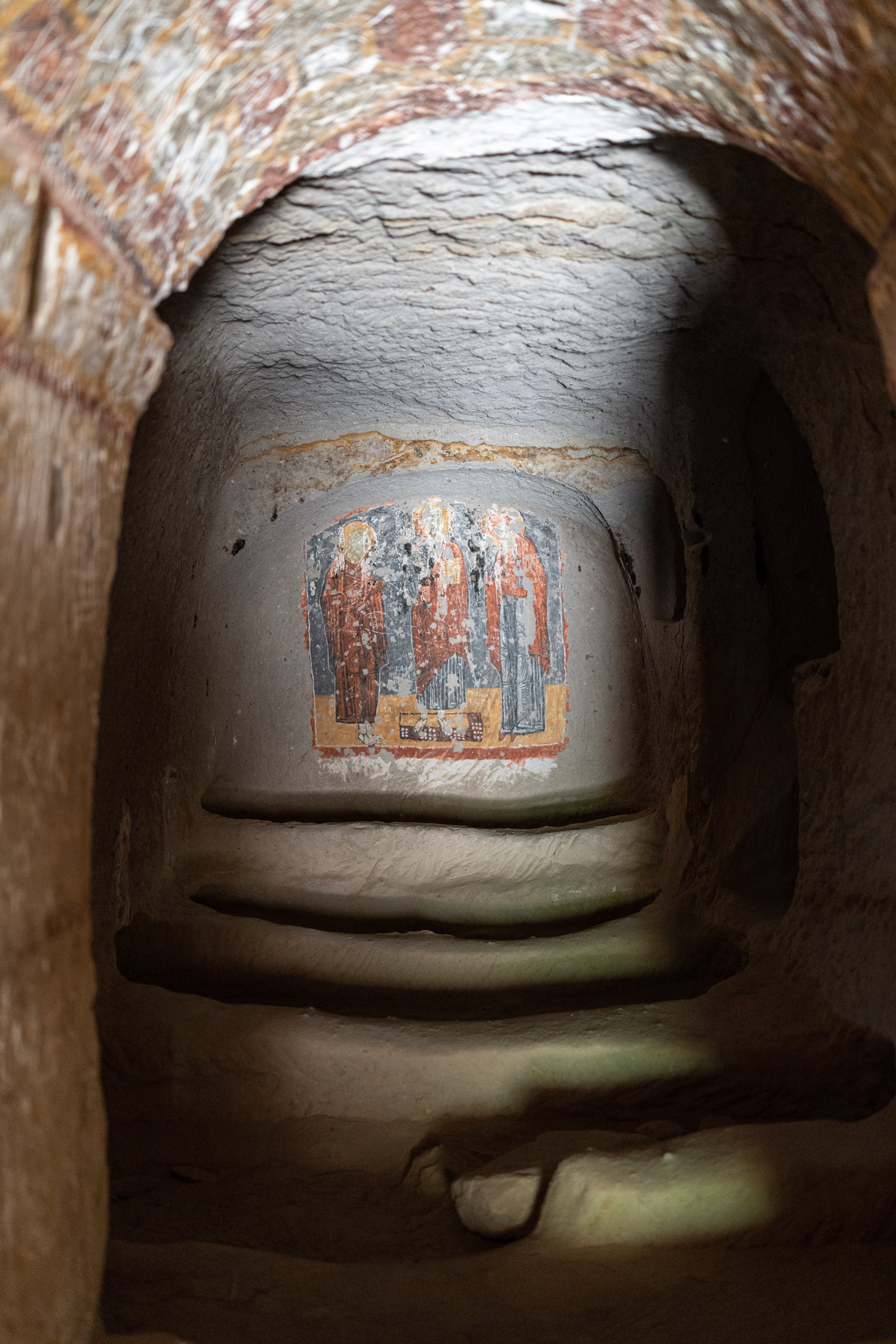
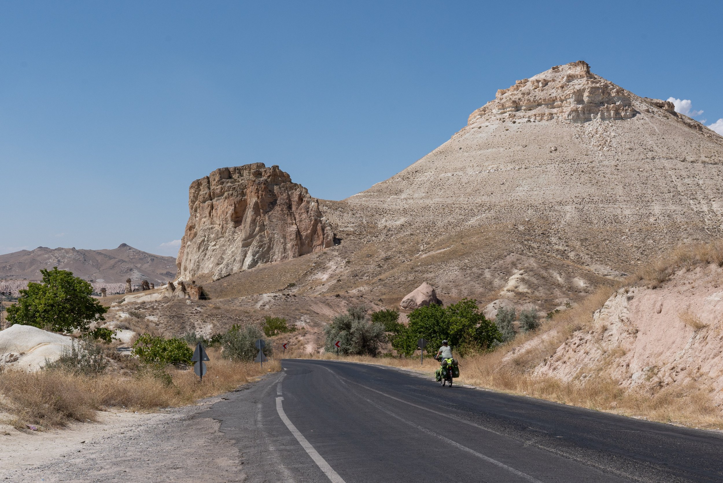
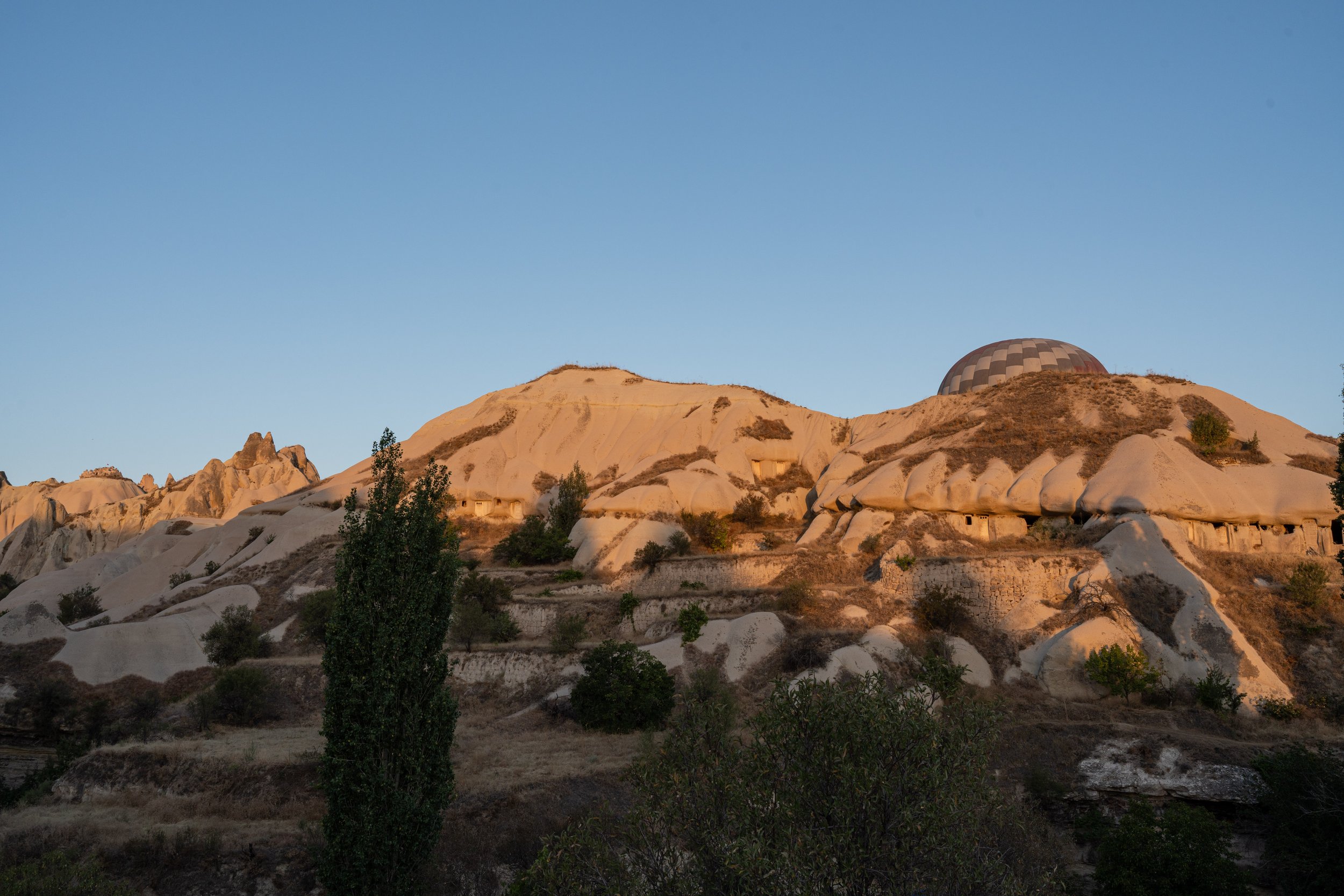
East of Aksaray begins a landscape known as Cappadocia. Wind and water were active sculptors on the comparatively soft volcanic tuff. Mankind then did the rest: about a thousand years ago, the Byzantine population living here created entire residential complexes with multi-storey churches in the tuff. In Selime we visited one of these complexes. The ongoing erosion has left its mark, but many of the former living caves and rock churches are still intact. The Ihlara Valley follows Selime. This narrow river valley, which can hardly be seen from the surrounding steppe landscape, is home to a whole series of rock churches, some of which have frescoes that are almost a thousand years old. In Derinkuyu we looked at a multi-storey underground city in which up to 20,000 people could live! The aisles are sometimes very narrow and you can only get forward by bending over. People with claustrophobia will not necessarily feel comfortable there. With Göreme we finally reached the tourist center of Cappadocia par excellence. In addition to its rocky landscapes and dwelling caves, the place is best known for the morning mass launches of hot air balloons, to which we will devote the next paragraph. Of course, the status as a tourist magnet also has certain side effects. Prices here generally reach the level of downtown Istanbul. Only a good 20 kilometers further in any direction has it completely normalized again. Especially the experiences in Türkiye with its enormously open and extremely hospitable people have taught us how important and rewarding it is not only to jump from attraction to attraction, but also to experience the supposedly less interesting "in between". In a way, this may be a truism and apply to the vast majority of countries, but in Türkiye we became particularly aware of this. From Göreme we then cycled further east to Kayseri, the birthplace of the Ottoman architect Sinan. There we took a few days off to sit out a small heat wave (maybe the last of this summer?).
The hot air balloons of Cappadocia
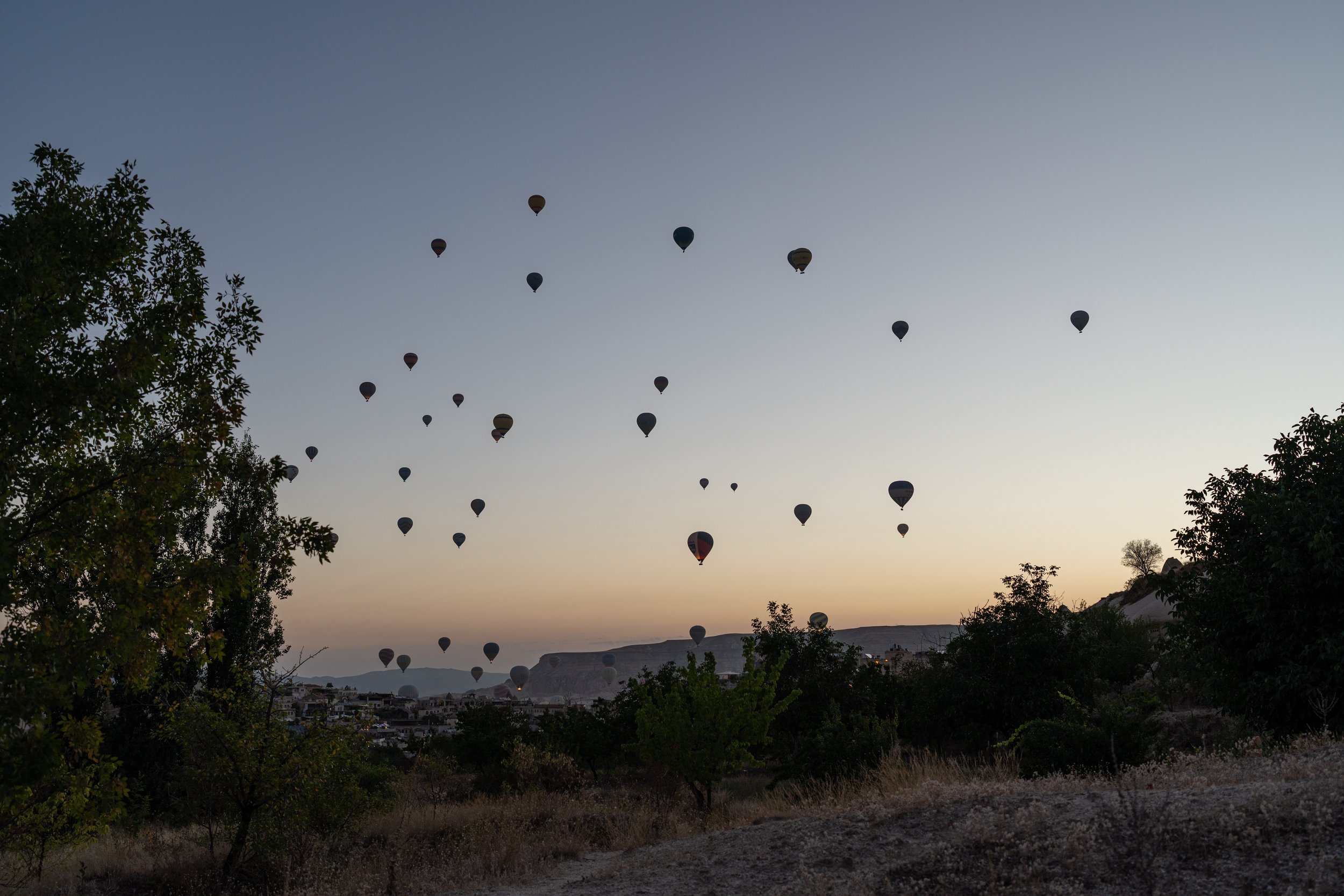
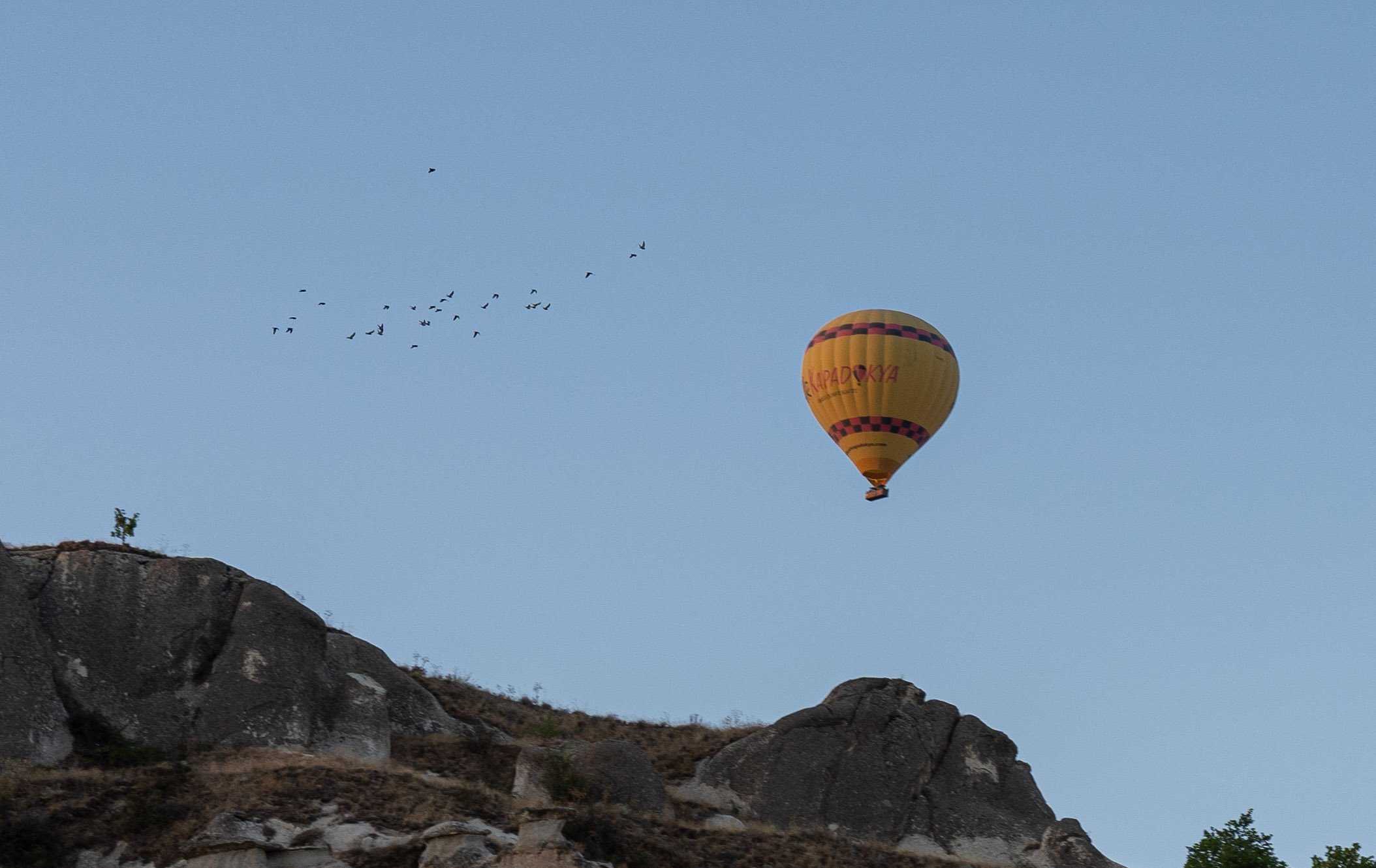
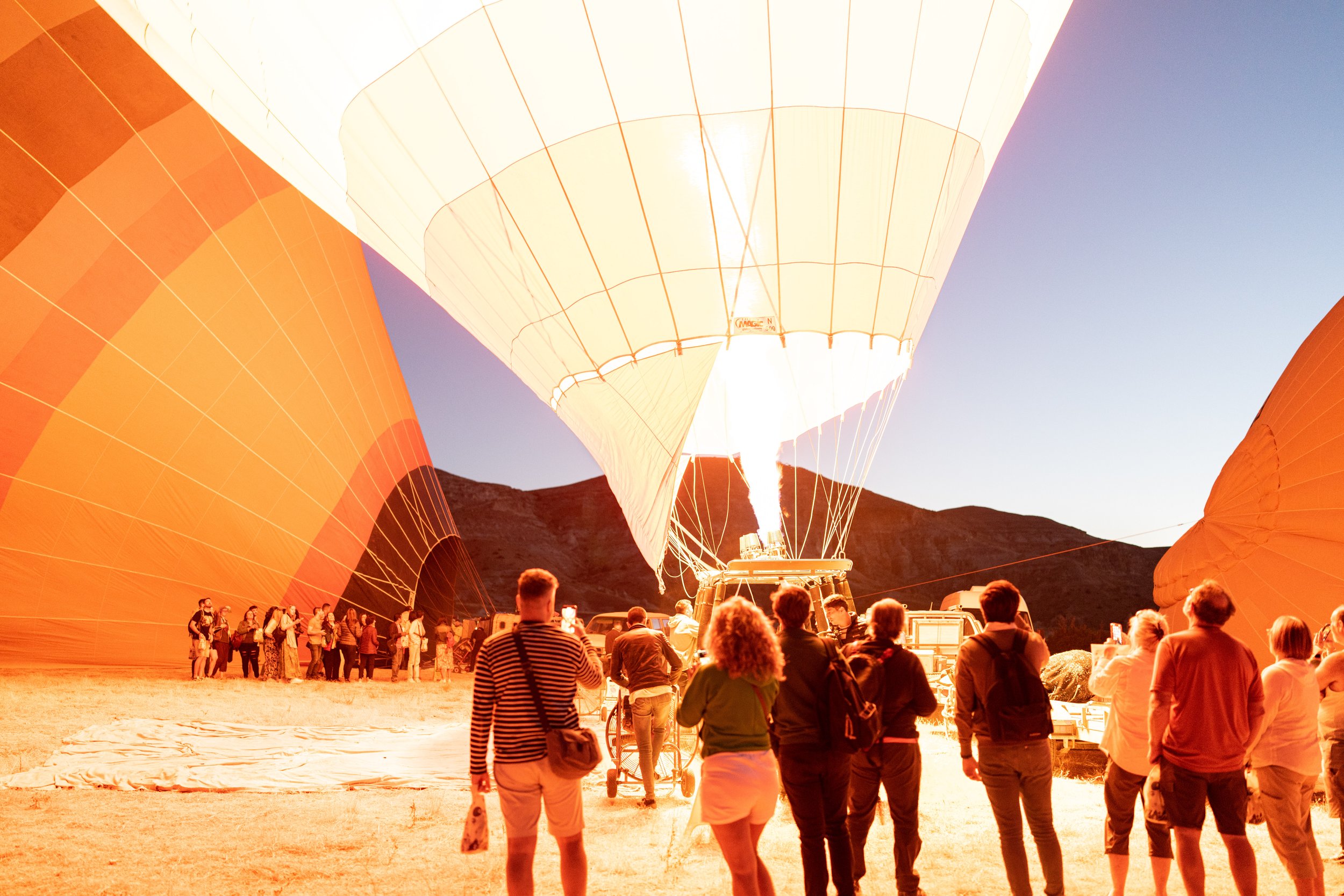
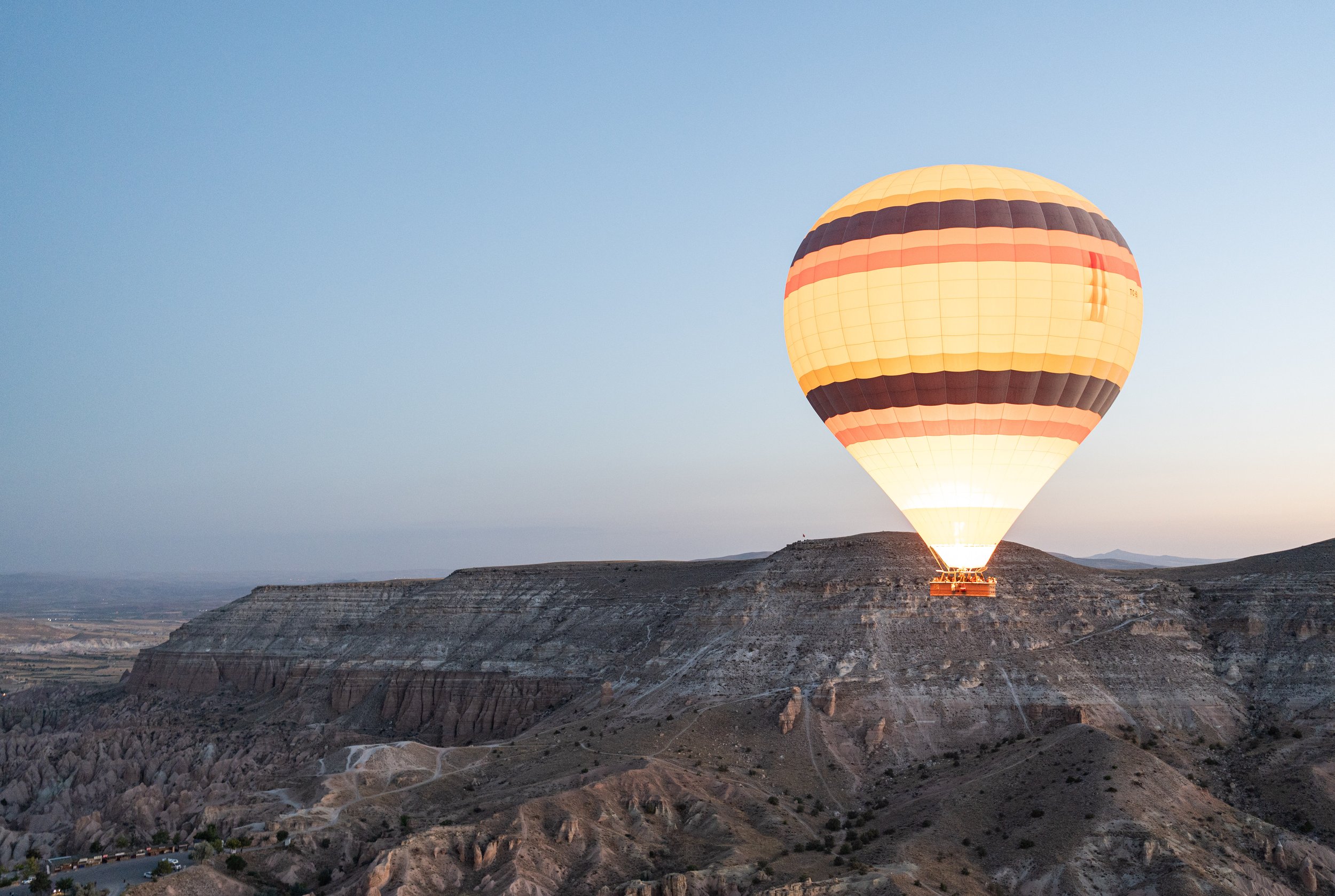
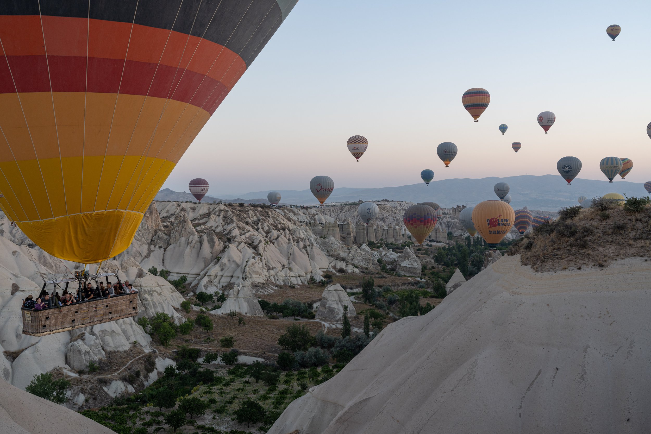
Göreme is now well known for its sunrise hot air balloon flights. Since the climate here is quite dry and there is often no wind in the mornings, the conditions for the flights are very favorable. In principle, the balloons fly around sunrise every day of the year. In practice, there are cancellations due to the weather, mainly due to strong winds (this also happened on our first morning in Göreme, where we actually wanted to watch the balloons from the tent). We were able to watch the balloons on two days and flew with them ourselves once. The mass start usually takes place about half an hour before sunrise and the flights last about a good hour. The exact course of the flight was difficult for us laypeople to predict, since the wind direction can vary at different flight altitudes. Therefore, our observations described here are also without any guarantee. With south and south-west-south winds, some hot air balloons have flown very low through the Pigeon Valley southwest of Göreme, which is why we saw quite spectacular views there. During our balloon flight there was also a south-west-south wind. Since the flights of most balloons (as well as ours) start north of Göreme, the low flight through one of the valleys was omitted. Of course, it's still a spectacular experience! On the last day of observation there was an easterly wind, which is why the hot air balloons flew in large numbers to the well-known Love Valley west of Göreme. Accordingly, there was nothing going on in the Pigeon Valley that morning - so for good observation spots you have to study the wind forecast and then be lucky.
About cycling on this section
On the coast of the Sea of Marmara in the Asian part of Istanbul there is a very nice cycle path that is also connected, except for a few places, which is also used by locals! Shortly before the city border of Istanbul, we switched back to larger roads. The D-100 can get uncomfortably crowded here, but mostly has side streets running directly parallel to it, which are considerably quieter. Between Dilovası and Kışladüzü there is no sensible alternative to the D-100, whose hard shoulder was unfortunately uncomfortably narrow here. Again and again, smaller sections can be driven directly by the sea until you have to resort to roads in the hinterland again. From Bedılkazancı, east of Sapanca, we always followed the D-140 to Ankara - apart from a short detour to Mudurnu. This road was excellent for cycling: there was almost always a wide hard shoulder, the road is in very good condition, the gradients are never too steep and the traffic is very manageable until just before Ankara, even on weekdays! However, entering Ankara was much less fun than driving into the center of Istanbul: in order to really get from district to district, we often had to use larger, multi-lane roads, which rarely had a hard shoulder here. Tip: in front of the multi-lane roundabouts and crossings, get into the correct lane early (if you can find them) and ignore the horns of the car and bus drivers - in the end this is more relaxed for everyone involved than changing lanes too late... Driving out of Ankara to the south was significantly shorter and a little more pleasant in terms of traffic, but associated with tough climbs. Once you reach Lake Eymir, you can then relax on the lakeside bike lane. From Gölbaşı we always followed the D-750 past Tuz Gölü to Aksaray. This road is excellent to drive: wide hard shoulder, not too much traffic, mild gradients and very nice views! Only headwind could spoil the cycling here... From Aksaray we followed smaller country roads connecting the tourist spots of Ihlara, Derinkuyu and Göreme. We became aware that in Türkiye we clearly prefer the larger D-roads, as these usually have a wide hard shoulder. For us, the speed of traffic is the same on both types of roads, but there is simply more space on the D-roads and they are also clearer, which should not be underestimated, especially in right-hand bends. From Avanos we drove to Kayseri on the D-300, which up to Garipçe is not in quite as good a condition as the previous D-roads that we have traveled on. Of all Turkish cities, cycling in Kayseri has been the most fun so far. There was plenty of space on the streets and traffic was less hectic than in Ankara or Istanbul.
