From the Ganges to Kolkata - with a detour to Nepal
Searching for tracks in the jungle and riding to the pagodas of Kathmandu
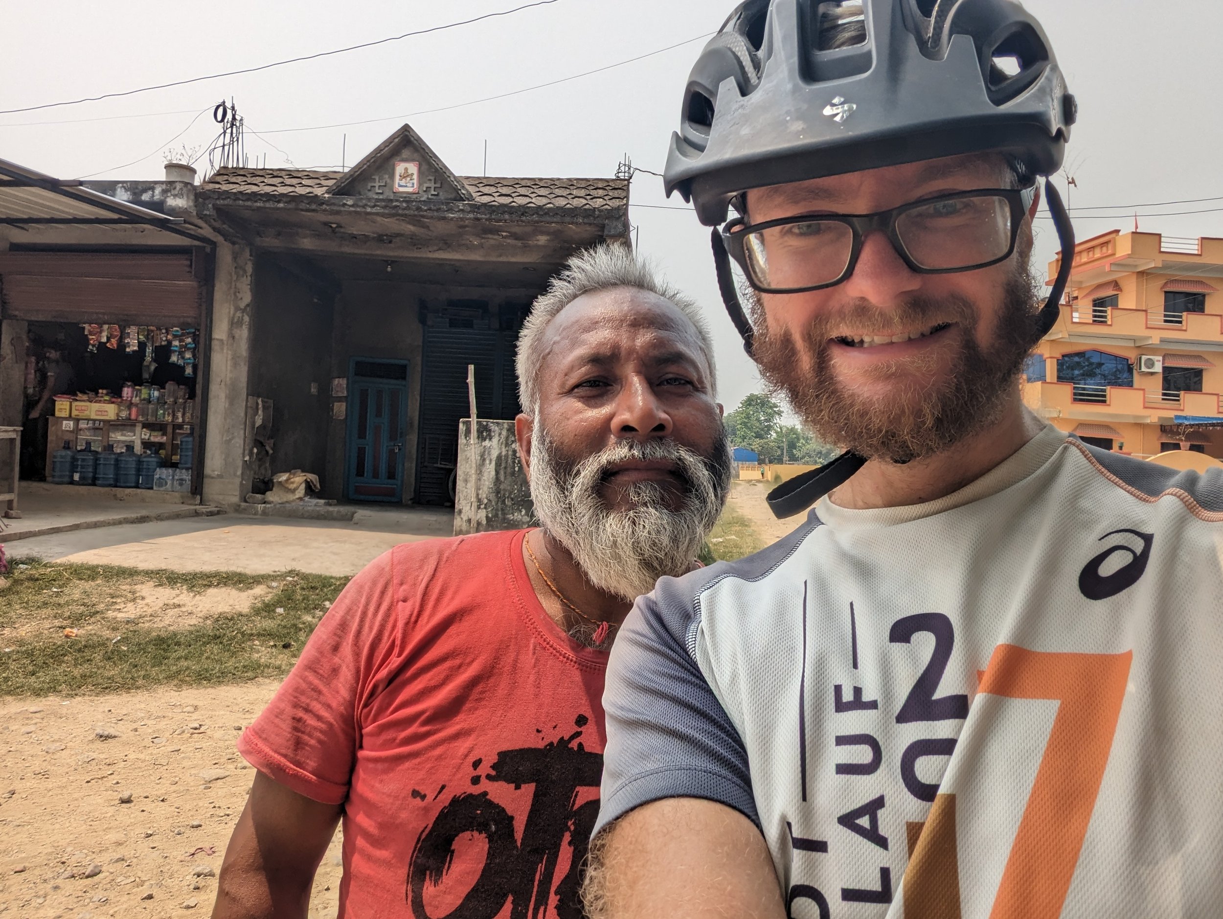
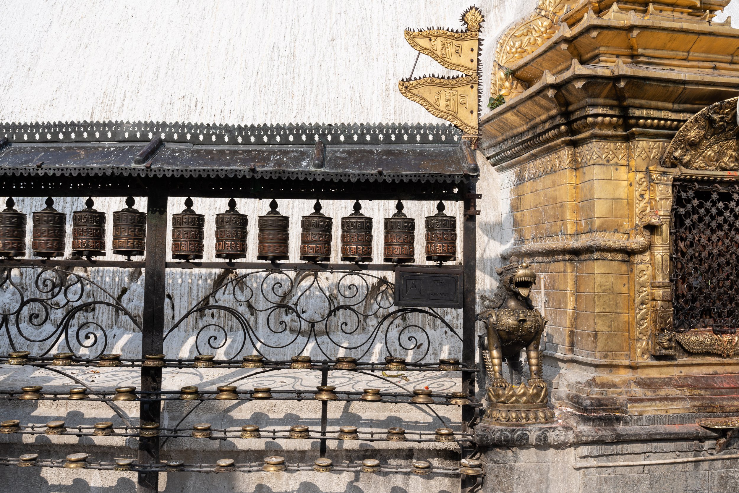
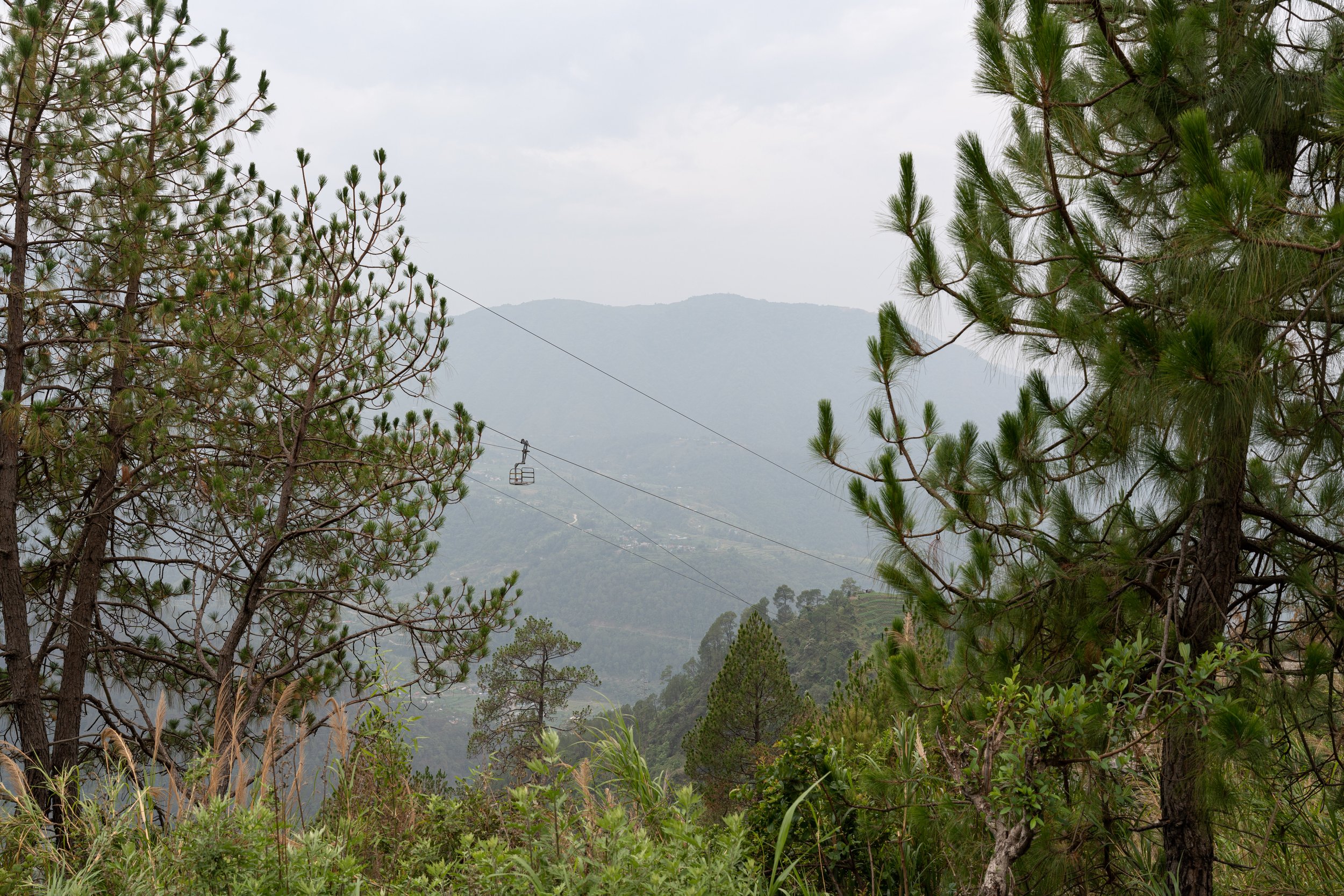
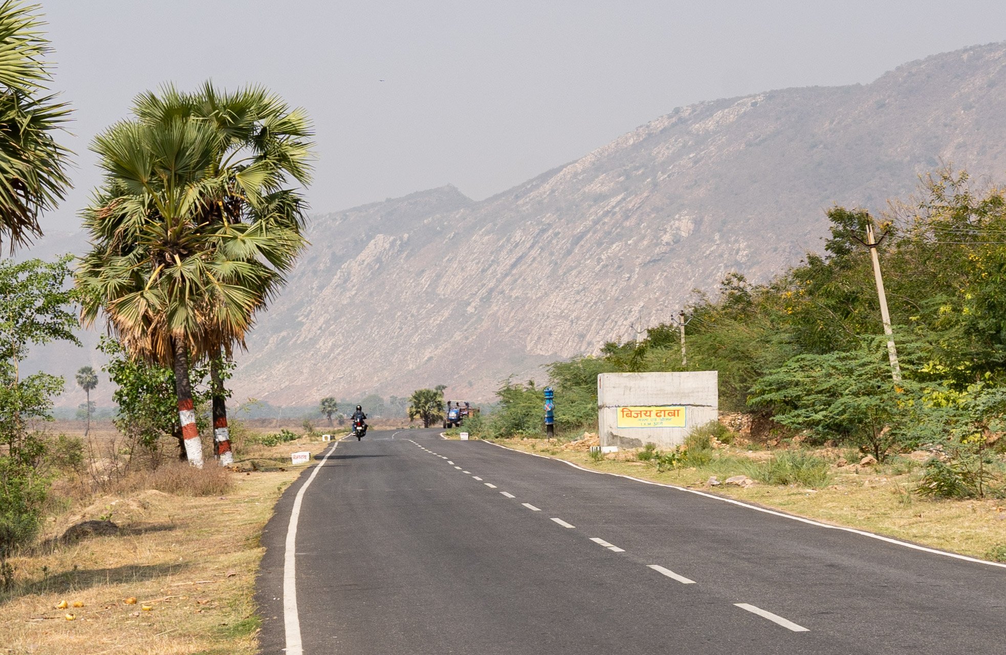
From Varanasi it was not a long way to the Nepalese border in the north. I rolled through the Ganges plain. In fact, the population density is much higher than in previous states. The plain consists mostly of fields and pastures, but mostly villages or isolated farmsteads can be found along the road. But there was no lonely nature anywhere on the stages through the plain. I feed on jalebi, samosas, rice dishes and naan bread as usual, although the combination of rice and bread still often led to shakes of the head in disbelief ("But it is both dry, sir!"). Fortunately, the temperatures will remain just below 40 °C (104 °F). The border crossing into Nepal was different from all previous ones: In the small town of Sonauli, the border runs right through the town, marked by an arch over the road. There are no check-in roads like at most usual land borders, but you have to find the offices of the respective immigration authorities on both sides of the border somewhere hidden between restaurants and shops. The procedure on the Nepalese side then became a bit of a test of patience: first, the dollar banknote that I used to pay the visa fee was checked several times to ensure that it was in perfect condition. And then I was sent two kilometers back to the Indian office because the Nepalese officials thought one digit in the date of the Indian exit stamp was a bit too crooked... The Indians calmly looked in their drawers for the most beautiful stamp they had, and finally about two hours I was allowed to enter Nepal. I now had to put the clocks forward by the strange amount of 15 minutes, because Nepal is one of the very few areas in the world whose time zone does not deviate by a multiple of half an hour from the coordinated world time. The next day I continued through the Nepalese part of the Ganges plain. Suddenly a mountain range appeared in the haze in front of me, and this time it wasn't my imagination. It wasn't particularly high, but I still saw the beginning of the Himalayas and thus the end of the Ganges plain in front of me. The southernmost mountain ranges are called "Siwaliks", consist of elevated erosion sediments from the high Himalayas and represent the youngest part of the mountains. Unfortunately, the road over the small ridge towards Bharatpur was one of the worst I've ever been on my bicycle. Dusty, coarse gravel, sometimes very steep and a lot of truck traffic - the Indian country roads were much more pleasant. The reward for the effort was then reaching the Chitwan National Park. This area consists of forests (the word “jungle” originally meant these dense forests in the northern part of the Indian subcontinent), swamps and rivers. On the way to the town of Sauraha, I was able to cross a few kilometers of the national park's buffer zone on a forest path on my bicycle. There may be Indian rhinos, crocodiles, elephants, bears and tigers. And in addition to some deer and stags, I really did discover two Indian rhinos - from the bicycle! Two days later I decided to go on a guided hike through the forest. The park guide and I snuck through the undergrowth in search of animals. Deer and stags were startled. Here they live in association with the rhesus monkeys, because the monkeys can much more easily spot approaching big cats high up in the trees. They then warn the other animals with their loud calls. On the banks of the Rapti river we then saw a number of crocodiles sunbathing on a sandbank in the middle of the river. And it wasn't just any crocodile: next to a marsh crocodile there were nine gharials lying there. This severely endangered species is now so rare that – depending on estimates – this sandbank unfortunately already contained around one to three percent of the entire world population. On a forest path we found very fresh footprints of a sloth bear. These feed primarily on termites, which have built numerous large mounds in the forest. A little further on, from the front right, we heard the calls of an animal in the thicket at a distance. The park guide stopped, turned around and whispered: "Tiger." We cautiously approached. We couldn't see anything, which isn't surprising, because the cat is excellent at hiding in the undergrowth. We went in the opposite direction, as the two of us would have been too easy a target for the tiger. We then discovered a fresh tiger track on a path. It was an exciting experience to be in the same area with this animal, only on foot, without a weapon, separated by no pane or fence. From the Chitwan National Park I then cycled a few meters up to Kathmandu on a - fortunately - mostly good road. The cityscape of Kathmandu differs significantly from the cities in the northern Ganges plain. The pagoda style, which is also widespread in East Asia, suddenly dominates the Hindu and Buddhist temples and monasteries. Interesting that the presence of the actually rather low Siwalik mountain ranges led to the development of a completely different architecture. Many people on the streets of Kathmandu obviously belong to different ethnic groups than in the towns of the lowlands. Many small shrines, where colorful flowers, paints and candles are left, are located in almost every alley and square. The severe earthquake in 2015 damaged or destroyed many historical buildings in Kathmandu. Restoration work is still ongoing in many places. Exploring Durbar Square, I passed a rather nondescript brick palace. At the entrance I was encouraged to go inside. Inside, I entered a courtyard with a tree and a shrine in the center. As I now learned from the conversations of the surrounding people, I was in the palace of the Kumari - a "living goddess" in the form of a girl. She is worshiped by Hindus as the incarnation of the Hindu goddess Taleju. After a few minutes, two guides present explained that the Kumari would now appear on the balcony. Photography is strictly forbidden. "Show respect to the goddess!" One of the two shouted sternly into the crowd. And then suddenly the Kumari appeared on the balcony on the south side of the courtyard. She wore a magnificent red robe and looked motionless at the believers and the tourists. Hindus present prayed. Visits to the Swayambhunath Stupa, also known as the “Monkey Temple”, the Bodnath Stupa (one of the largest of its kind) and the surroundings of the Pashupatinath Temple (the interior of this Shiva temple is only accessible to Hindus of South Asian descent) rounded out my exploration of Kathmandu. The city is very varied and I really liked it. If the slowly but surely approaching monsoon hadn't been breathing down my neck, I would certainly have stayed longer. Hopefully it wasn't the last visit - if only because I haven't seen a single eight-thousander. The typhoon, which hit Myanmar and Bangladesh, transported so much humidity to Nepal that visibility was no more than about 20 kilometers even above the valley floor.
Through Bihar to the Bodhi Tree
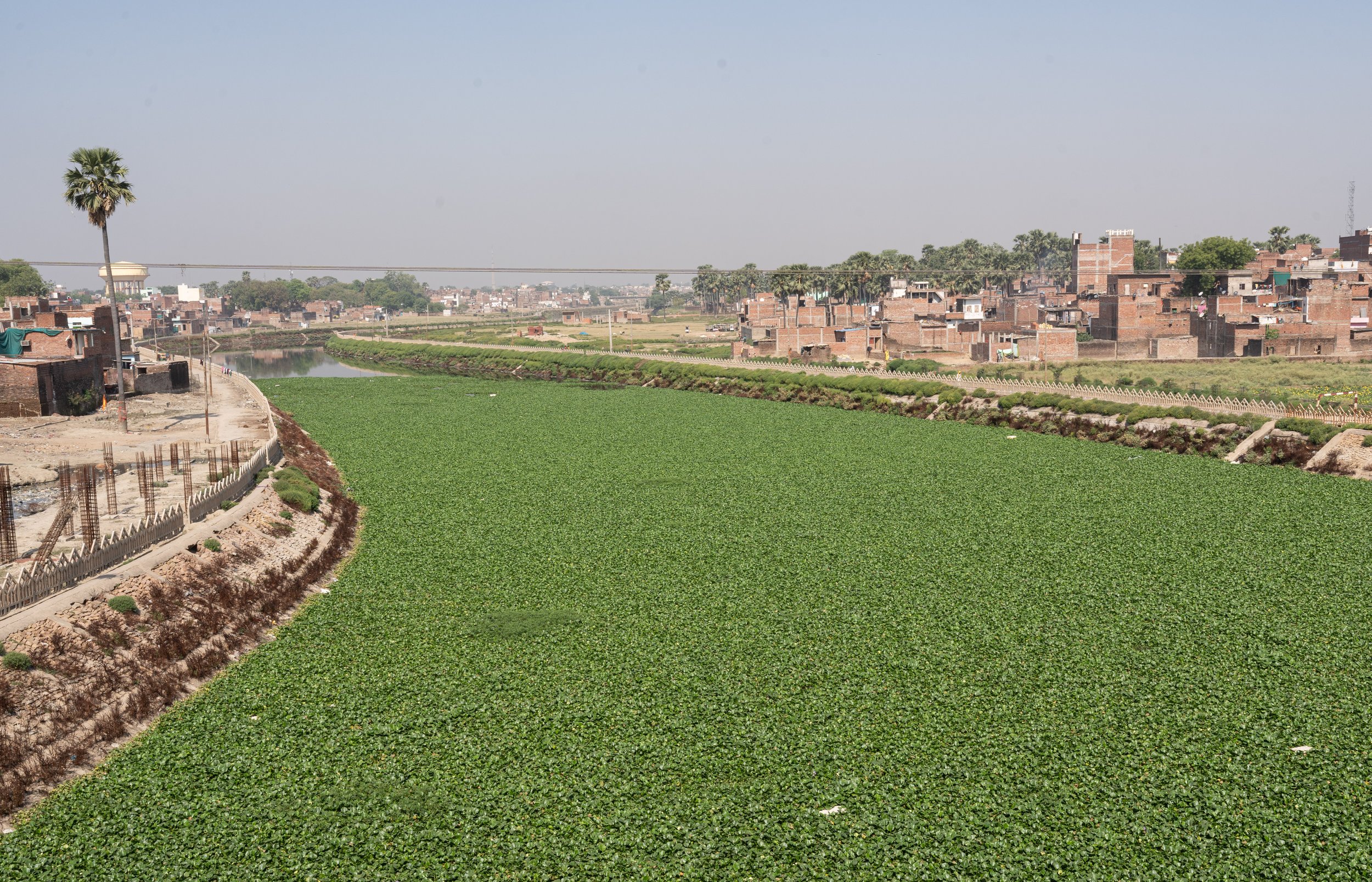
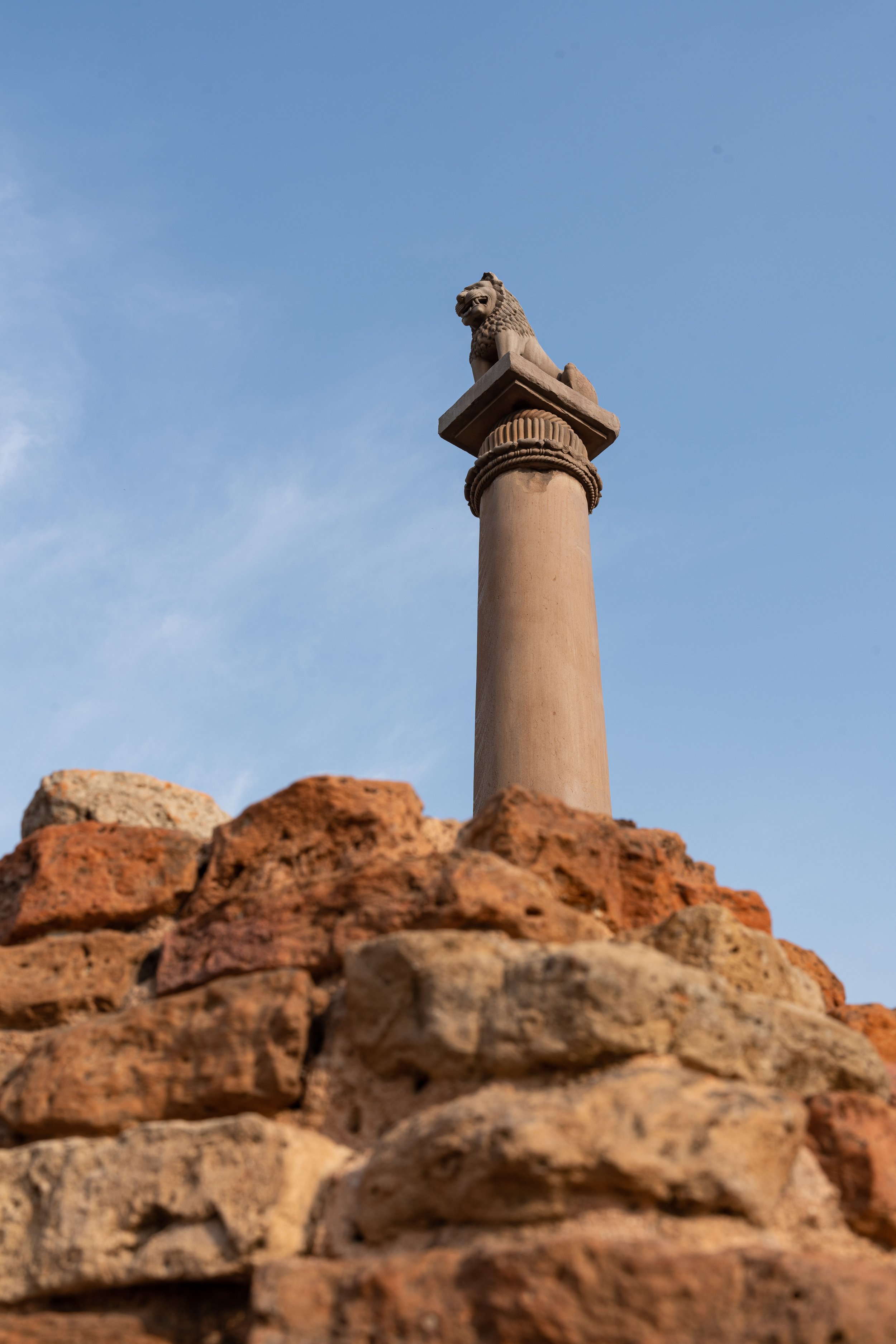
What I wanted to do in Motihari, a skeptical Indian border police officer asked me on re-entry after I had crossed the mountains south of Kathmandu with some effort. It's not a tourist destination. The place is right on my bicycle route, I replied, and besides, you can visit the birthplace of George Orwell there. I got a questioning look. Arriving in Motihari, it was not that easy to find the house, because many locals seemed to be unfamiliar with it. A nice detail: in the empty room in which the author was born, there was nothing but a bicycle. I was now crossing the state of Bihar from north to south. Bihar is even more densely populated than Uttar Pradesh (about 104 million inhabitants in the area of Hungary) and the least developed state, which is mainly due to its high proportion of rural settlements. Anyone who thinks that you are driving through a single, endless city is wrong. The land consumption per inhabitant is much lower here than in more developed countries due to the very simple way of life, which is why in Bihar one drives between the villages through extensive, agriculturally used plains. Since many people cannot afford a vehicle, the traffic load outside the cities was surprisingly manageable. Nevertheless, you meet people everywhere and always during the day. You will hardly find lonely nature or retreats here. When people have to go to the bathroom here, they simply stand on the side of the road – whether in town or outside of town... This is always in front of an audience anyway, because places that are protected from view are almost impossible to find in the open agricultural landscape. It goes without saying that wild camping is all the more difficult here - I therefore completely avoided it. Incidentally, many lychees are grown in the region around Muzaffarpur, which are also eaten unripe here. Since unripe lychees can be poisonous, this leads to hundreds of cases of poisoning in this region every year - I only read about that after I had eaten about twenty pieces of the unripe fruit. For well-nourished adults, however, the ingredients are rather harmless, which is why I did not notice any impairments. In general, there is a lot to discover culinary here. Some dishes, e.g. the sweet khaja made from puff pastry, can only be found in a few cities and neither before nor after. Today's Bihar is part of the Ganges plain, where Buddhism originated over 2,000 years ago. Accordingly, several very important places of this religion can still be visited here today. At Vaishali is one of the two best preserved pillars of Ashoka (they played a role in the last report). According to tradition, Buddha received honey from monkeys at this place. Ironically, there are no more monkeys here today, and even if they did, they would probably rather steal the honey than give it as a gift... Near Nalanda are the ruins of one of the largest universities in the ancient world. And in Bodh Gaya there is a poplar fig at the place where Buddha is said to have experienced enlightenment or awakening under such a tree after a long meditation. Buddhists from all over the world, especially Southeast Asia, make pilgrimages here to meditate under the "Bodhi Tree". It was very interesting to witness the different forms of worship of the place and the tree as a silent observer. Similar to Islam, some Buddhists kneel and touch the ground with their foreheads. Others lie flat on the floor several times. Still others stand and recite mantras aloud. The complex around the Bodhi tree was undoubtedly a very impressive place. However, as with other touristically relevant places in India, it should be noted for the sake of completeness that these sites also attract quite a lot of people who try to rip off tourists. So vigilance is helpful, especially in these most sacred places.
On the way to Kolkata - the last leg of the India crossing
From Bodh Gaya I cycled south-east to Kolkata. The first state on this way was Jharkhand, which was again quite hilly in contrast to the Ganges plain. Otherwise this section was rather uneventful: fields, villages, forests, a few palm trees and now and then a dry riverbed. It got very hot again, but a steady, light tailwind made progress easier. Pretty soon I reached the state of West Bengal, the capital of which is Kolkata. The city was also the capital of British India until 1911. A few monumental buildings in the town center still bear witness to this period. Kolkata is considerably more developed than its rural surroundings. In the rather posh district of “Lake Town” I was finally able to treat myself to good cake with a good espresso - you only really appreciate that if you have had to do without it for a long time. Now it was time for me to disassemble the bike and put it in a box, because the next leg of the flight was coming up. Since a civil war is still being fought in Myanmar and it is currently more or less impossible to enter there by land anyway, I booked a flight from Kolkata to Bangkok in Thailand. From there I will then continue in a southeasterly direction to Malaysia, Singapore and Indonesia.
About cycling on this section
Uttar Pradesh: Cycling in this very densely populated state quickly attracts a lot of attention, but I never had an uncomfortable situation. In Uttar Pradesh, there is a lot of cycling, especially in the cities, which is why cyclists are never out of place. Many petrol stations in this area have modern water filter systems, where you can fill up with drinking water - very practical.
Nepal: The quality of the roads in Nepal varies enormously. I have to strongly advise against the “Highway H01” from Sonauli to Bharatpur. The "Highway" isn't really a road, it's just a linear accumulation of dust, dirt, gravel and debris. The Via Appia in Rome with the original antique surface drives better. The whole thing is garnished with hundreds of trucks and buses rumbling across this disaster. The other roads I cycled on in Nepal were in a much better condition. The H05 and H04 Bharatpur to Kathmandu roads have always been in fairly good condition, except for a steep and busy roadworks some 20 km west of Kathmandu. From Kathmandu I followed a branch line via Dakshinkali, Fakhel and Bhimphedi to the H02 road at Hetauda. This route had some very steep and unpaved sections at Dakshinkali and Fakhel but was otherwise in good condition (apart from 10km west of Bhimphedi which are fairly flat). The main road H01 from Hetauda to the border at Raxaul was then very easy to cycle on again, but also quite busy.
Bihar: Even if the state is not very developed in national comparison, the main roads were generally in good to very good condition. From Raxaul I cycled to Gaya and Bodh Gaya via Motihari, Motipur, Vaishali, Hajipur, Bihar Sharif and Rajgir. Only the greater Patna area between Hajipur and Sonaru was a test of patience due to very high traffic density and poor roads. Unfortunately, since there are only a few bridges over the Ganges, this area cannot be easily bypassed if you want to connect Raxaul and Bodh Gaya as directly as possible. Unfortunately, in most cases the RO water stations at the petrol stations were either not available (anymore) or not in operation, which is why I was more dependent on bottled water again.
Jharkhand and West Bengal: Road conditions were also good in these two states. I only have to advise against the rather direct main route no. 19 between Budbud and Kolkata. Someone there came up with the brilliant idea of blocking the hard shoulder of this very busy road with concrete obstacles over a length of about 120 kilometers. Fortunately, the RO water stations in these two states were operational most of the time, so water supply was easy. By the way, the city traffic in Kolkata was a moderate and more relaxed variant of Mumbai - with a little concentration you can get through here very well by bike.
